Transport Functions
Multimodal
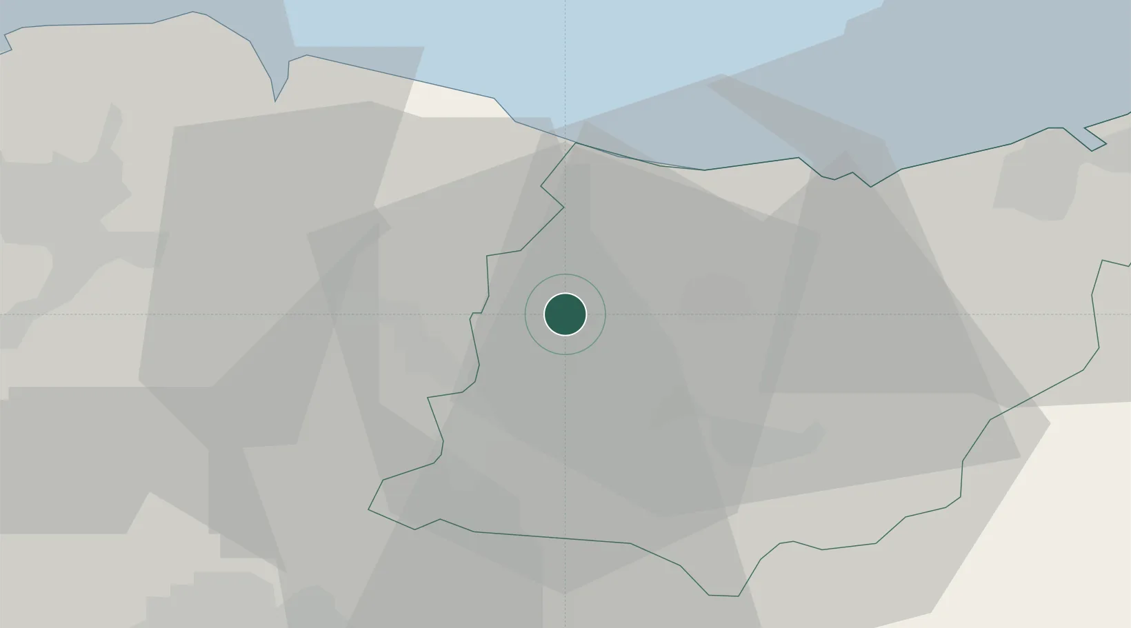
Hub Profile
Region
SS
Location
Nearby Logistics Neighbours
Ports
- 1Bermeo37 km
- 2Puerto De Pasajes43 km
- 3Puerto De Bilbao55 km
- 4Bayonne85 km
- 5Santander116 km
Airports
- 1Vitoria Airport40 km
- 2Bilbao Airport43 km
- 3San Sebastián Airport55 km
- 4Pamplona Airport77 km
- 5Logroño-Agoncillo Airport79 km
Trade Zones
DatabookThe Record of Consolidated Knowledge
Spain beyond logistics?