Transport Functions
Rail
Road
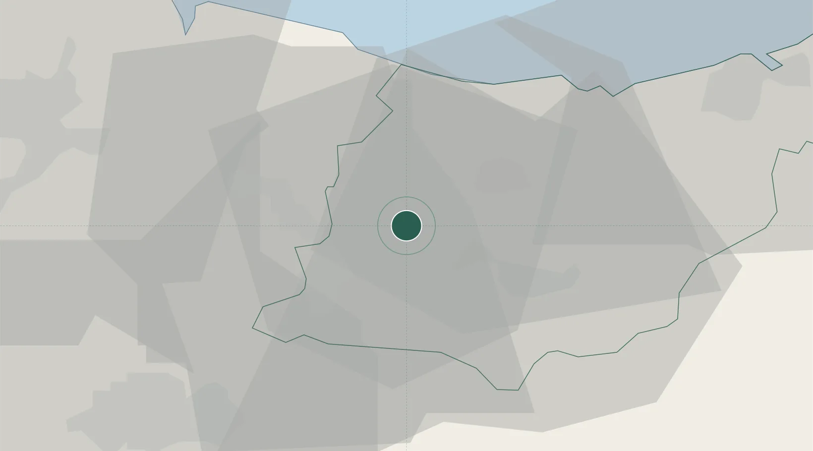
Hub Profile
Place type
Populated place
Region
Basque Country
Population
14,707
Time zone
Europe/Madrid
Elevation
185 m
Location
Nearby Logistics Neighbours
Cities
- 1Placencia Armas Soraluze6 km
- 2Elgeta7 km
- 3Ermúa11 km
- 4Oñati11 km
- 5Zaldibar12 km
Ports
- 1Bermeo42 km
- 2Puerto De Pasajes45 km
- 3Puerto De Bilbao59 km
- 4Bayonne87 km
- 5Santander119 km
Airports
- 1Vitoria Airport37 km
- 2Bilbao Airport46 km
- 3San Sebastián Airport56 km
- 4Pamplona Airport73 km
- 5Logroño-Agoncillo Airport73 km
Trade Zones
DatabookThe Record of Consolidated Knowledge
Spain beyond logistics?