Transport Functions
Rail
Road
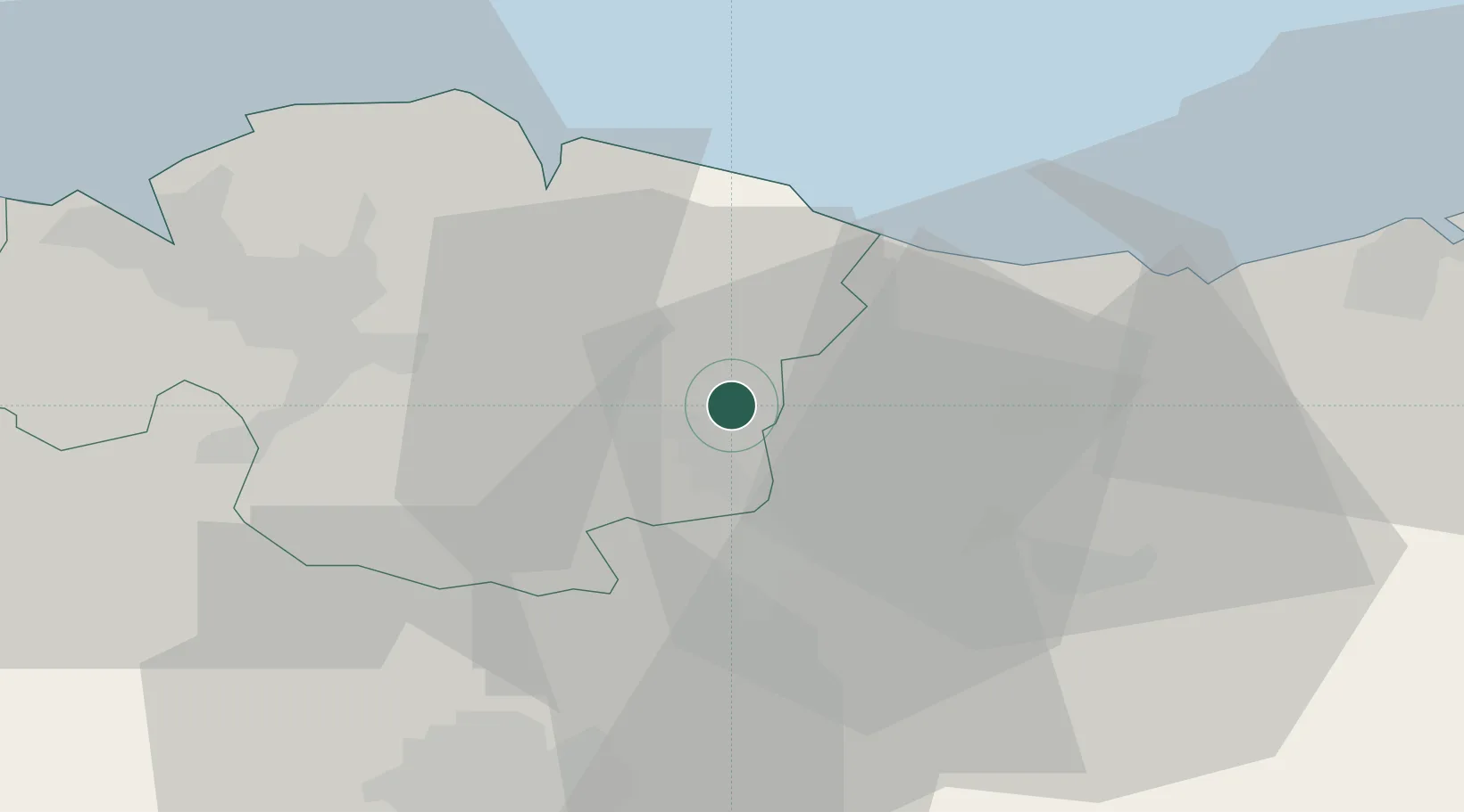
Location
Nearby Logistics Neighbours
Cities
- 1Zaldibar2 km
- 2Ermúa3 km
- 3Matiena6 km
- 4Abadiano-Zelaieta7 km
- 5Abadiano Celayeta7 km
Ports
- 1Bermeo30 km
- 2Puerto De Bilbao46 km
- 3Puerto De Pasajes51 km
- 4Bayonne93 km
- 5Santander106 km
Airports
- 1Bilbao Airport33 km
- 2Vitoria Airport37 km
- 3San Sebastián Airport63 km
- 4Logroño-Agoncillo Airport82 km
- 5Pamplona Airport86 km
Trade Zones
DatabookThe Record of Consolidated Knowledge
Spain beyond logistics?