Transport Functions
Multimodal
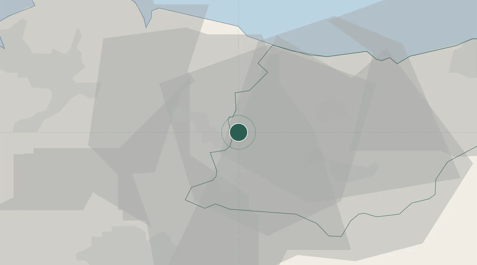
Hub Profile
Place type
District seat
Region
Basque Country
Time zone
Europe/Madrid
Elevation
464 m
Location
Nearby Logistics Neighbours
Cities
- 1Zaldibar6 km
- 2Ermúa6 km
- 3Placencia Armas Soraluze7 km
- 4Mallabia7 km
- 5Bergara7 km
Ports
- 1Bermeo37 km
- 2Puerto De Pasajes50 km
- 3Puerto De Bilbao52 km
- 4Bayonne92 km
- 5Santander112 km
Airports
- 1Vitoria Airport34 km
- 2Bilbao Airport39 km
- 3San Sebastián Airport61 km
- 4Logroño-Agoncillo Airport76 km
- 5Pamplona Airport79 km
Trade Zones
DatabookThe Record of Consolidated Knowledge
Spain beyond logistics?