Transport Functions
Rail
Road
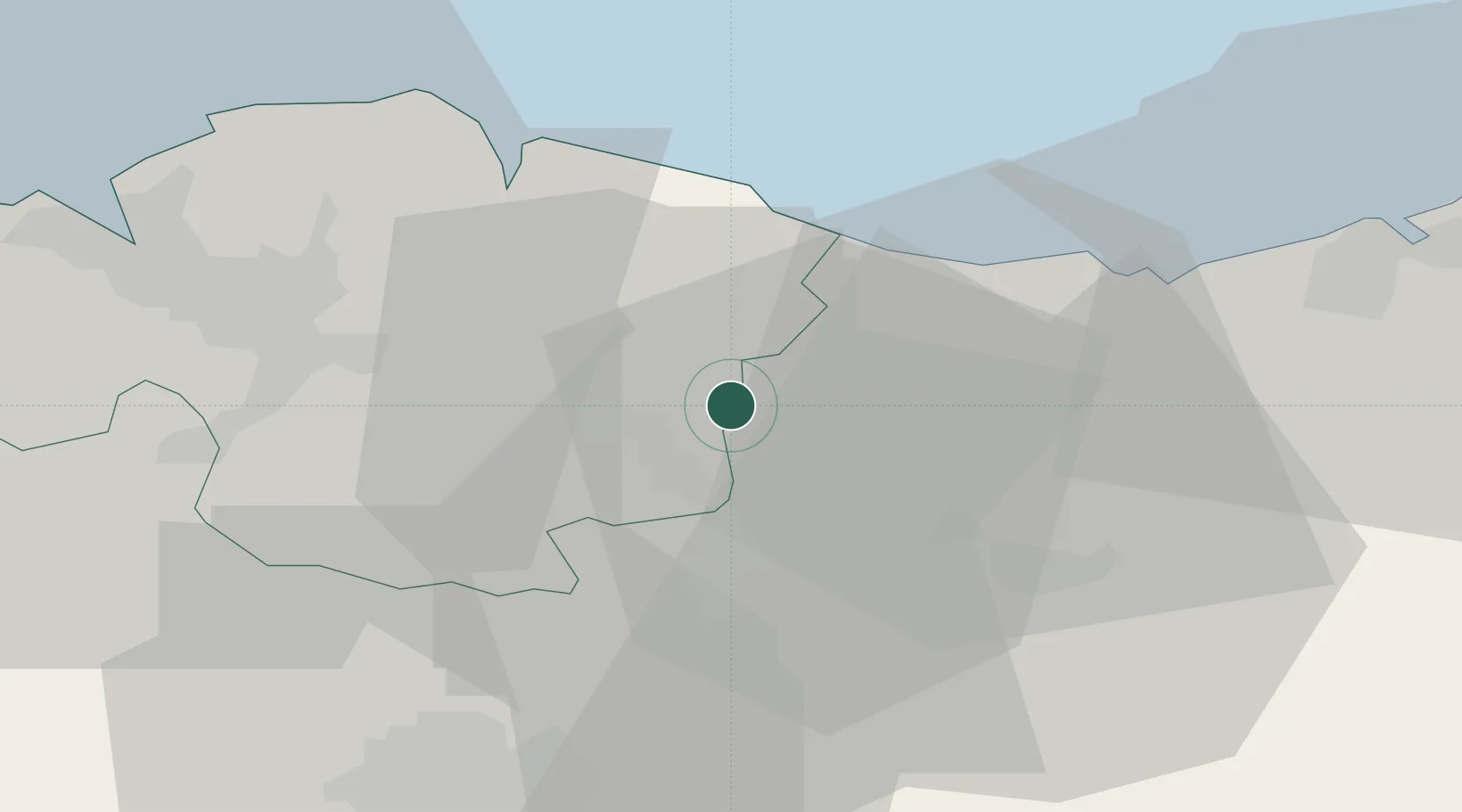
Hub Profile
Place type
District seat
Region
Basque Country
Population
16,252
Time zone
Europe/Madrid
Elevation
181 m
Location
Nearby Logistics Neighbours
Cities
- 1Mallabia3 km
- 2Zaldibar3 km
- 3Elgeta6 km
- 4Placencia Armas Soraluze7 km
- 5Matiena8 km
Ports
- 1Bermeo31 km
- 2Puerto De Bilbao48 km
- 3Puerto De Pasajes49 km
- 4Bayonne91 km
- 5Santander109 km
Airports
- 1Bilbao Airport36 km
- 2Vitoria Airport38 km
- 3San Sebastián Airport61 km
- 4Logroño-Agoncillo Airport82 km
- 5Pamplona Airport83 km
Trade Zones
DatabookThe Record of Consolidated Knowledge
Spain beyond logistics?