Transport Functions
Road
Multimodal
Hub Profile
Place type
District seat
Region
Basque Country
Time zone
Europe/Madrid
Elevation
421 m
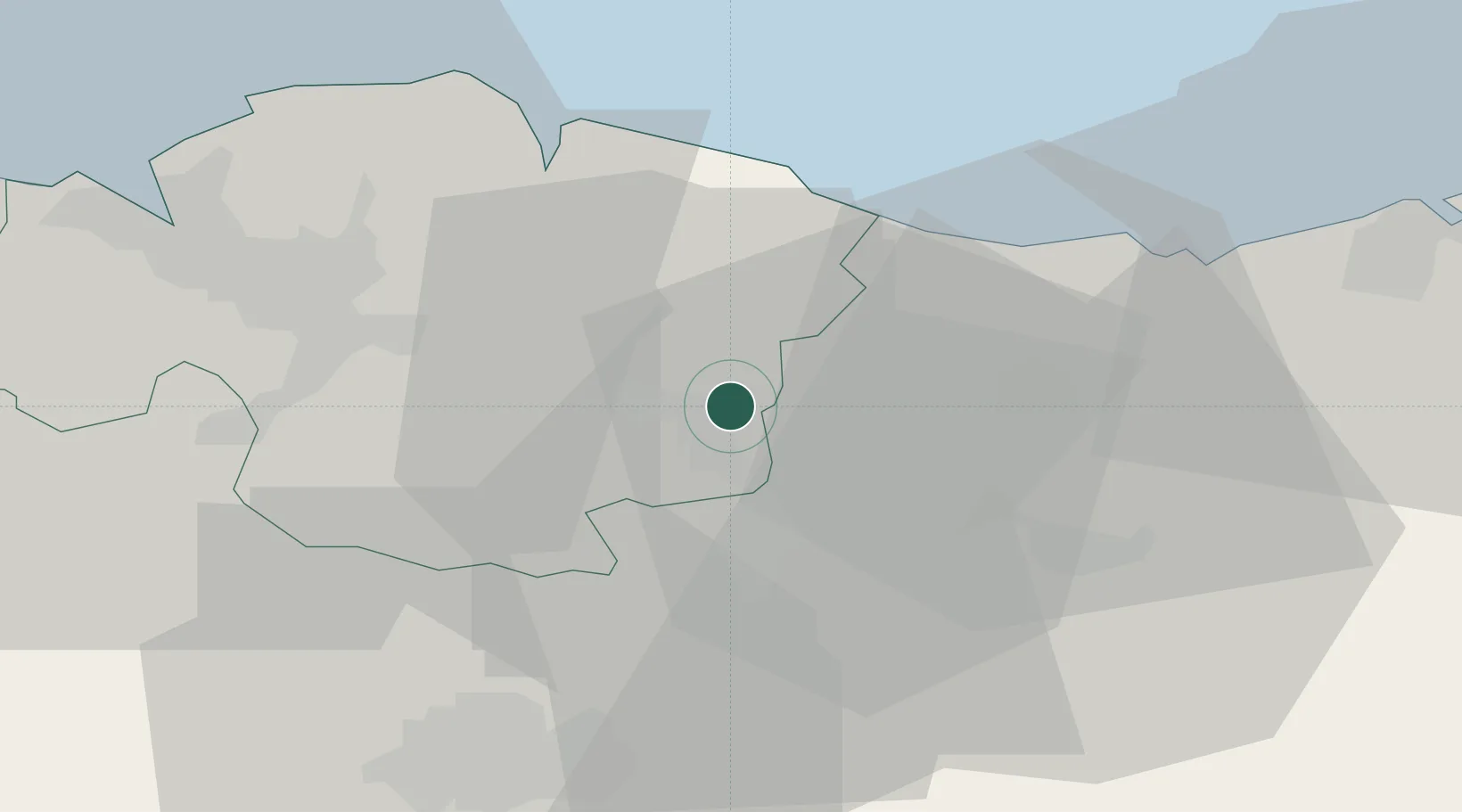
Location
Nearby Logistics Neighbours
Cities
- 1Mallabia2 km
- 2Ermúa3 km
- 3Matiena5 km
- 4Elgeta6 km
- 5Abadiano-Zelaieta6 km
Ports
- 1Bermeo32 km
- 2Puerto De Bilbao47 km
- 3Puerto De Pasajes52 km
- 4Bayonne94 km
- 5Santander107 km
Airports
- 1Bilbao Airport34 km
- 2Vitoria Airport35 km
- 3San Sebastián Airport64 km
- 4Logroño-Agoncillo Airport80 km
- 5Pamplona Airport85 km
Trade Zones
DatabookThe Record of Consolidated Knowledge
Spain beyond logistics?