Transport Functions
Multimodal
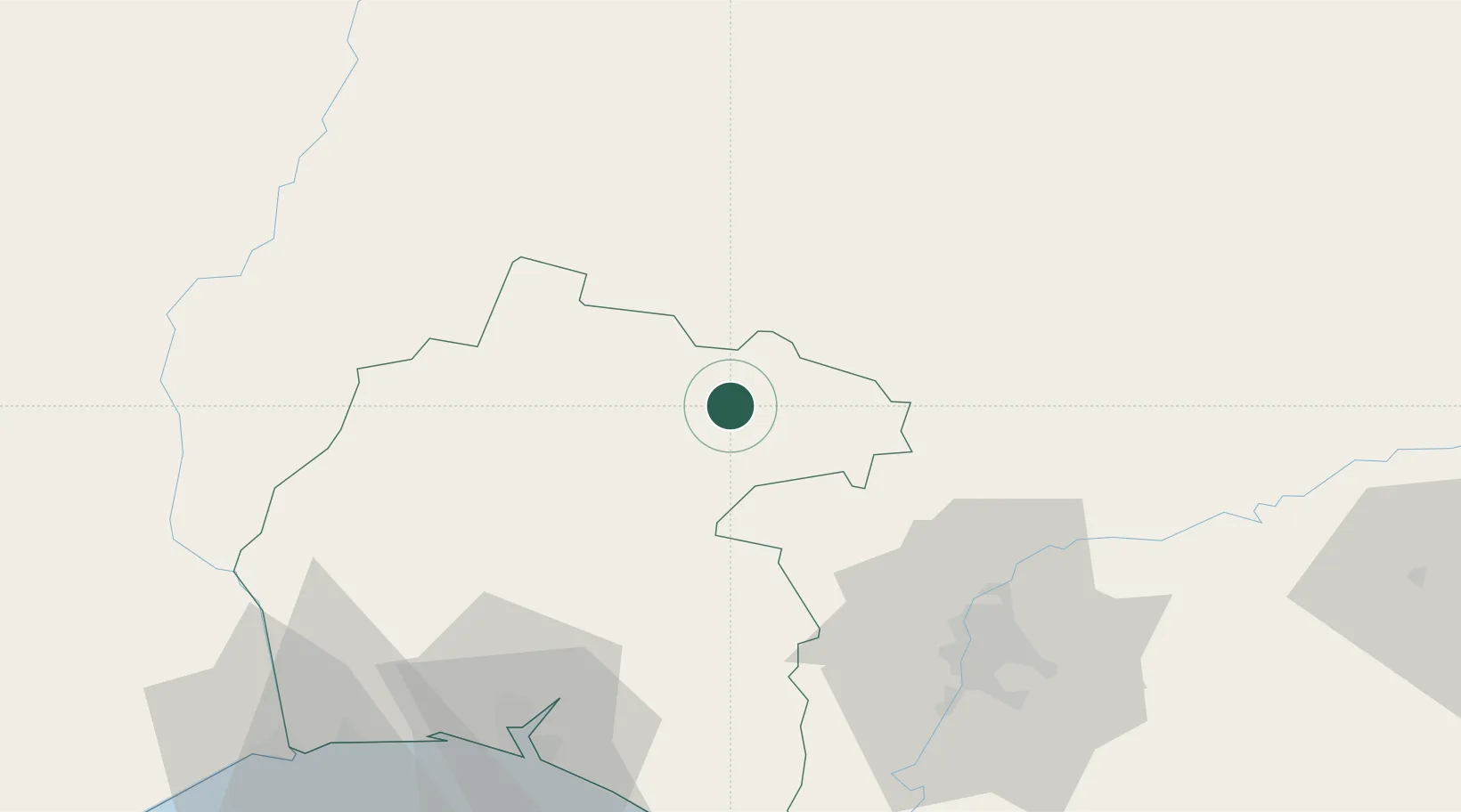
Hub Profile
Place type
District seat
Region
Andalusia
Time zone
Europe/Madrid
Elevation
504 m
Location
Nearby Logistics Neighbours
Cities
- 1Galaroza18 km
- 2Jabugo21 km
- 3Cumbres Mayores22 km
- 4Nerva22 km
- 5Minas de Riotinto23 km
Ports
- 1Sevilla74 km
- 2Huelva82 km
- 3Vila Real De S Antonio113 km
- 4Rota144 km
- 5Cadiz153 km
Airports
- 1Madroñalejos Forest Fire fighting Heliport44 km
- 2Seville Airport76 km
- 3Moron Air Base112 km
- 4Badajoz Airport114 km
- 5Beja Airport / Airbase127 km
Trade Zones
- 1Zona Franca de Sevilla77 km
- 2Puerto de Huelva82 km
- 3Zona Franca de Cádiz157 km
- 4Depósito Franco de Málaga199 km
- 5Depósito Franco de Algeciras219 km
DatabookThe Record of Consolidated Knowledge
Spain beyond logistics?