Transport Functions
Multimodal
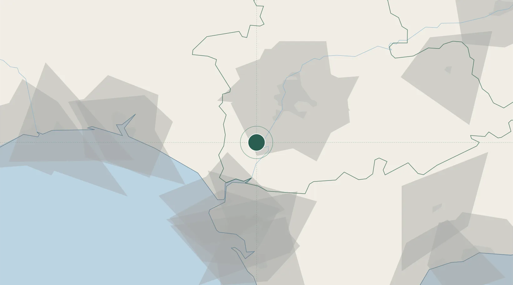
Hub Profile
Region
SE
Location
Nearby Logistics Neighbours
Cities
- 1La Puebla Del Rio17 km
- 2Gelves26 km
- 3Trebujena30 km
- 4Montequinto30 km
- 5Sevilla31 km
Ports
- 1Sevilla30 km
- 2Rota59 km
- 3Cadiz68 km
- 4Huelva71 km
- 5Vila Real De S Antonio109 km
Airports
- 1Seville Airport40 km
- 2Jerez Airport44 km
- 3Madroñalejos Forest Fire fighting Heliport46 km
- 4Moron Air Base49 km
- 5Tomás Fernández Espada Airfield54 km
Trade Zones
- 1Zona Franca de Sevilla27 km
- 2Zona Franca de Cádiz71 km
- 3Puerto de Huelva72 km
- 4Depósito Franco de Algeciras130 km
- 5Depósito Franco de Málaga146 km
DatabookThe Record of Consolidated Knowledge
Spain beyond logistics?