Transport Functions
Port
Hub Profile
Place type
District seat
Region
Andalusia
Population
6,806
Time zone
Europe/Madrid
Elevation
73 m
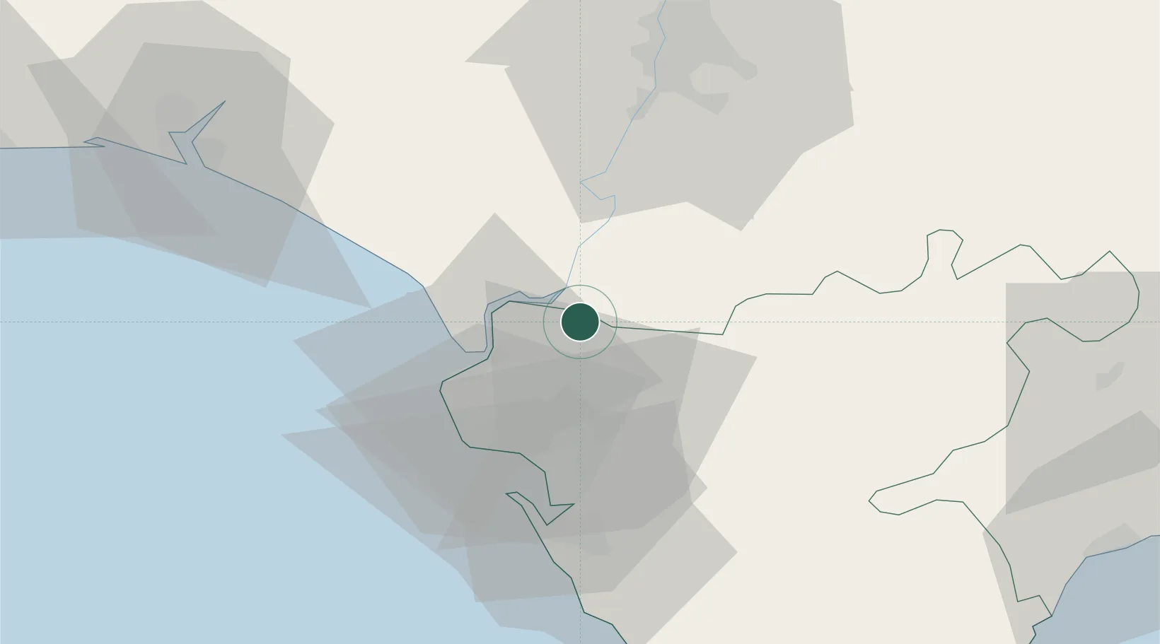
Location
Nearby Logistics Neighbours
Cities
- 1Guadalcacin20 km
- 2Alcantara25 km
- 3Isla Mayor30 km
- 4Cadiz40 km
- 5La Puebla Del Rio44 km
Airports
- 1Jerez Airport17 km
- 2Rota Naval Station Airport30 km
- 3Tomás Fernández Espada Airfield46 km
- 4Moron Air Base60 km
- 5Seville Airport66 km
Trade Zones
- 1Zona Franca de Cádiz42 km
- 2Zona Franca de Sevilla54 km
- 3Puerto de Huelva83 km
- 4Depósito Franco de Algeciras105 km
- 5Tanger Med Ksar el Majaz Mellousa Freeport126 km
DatabookThe Record of Consolidated Knowledge
Spain beyond logistics?