UN/LOCODE hub · Spain
ESZHI
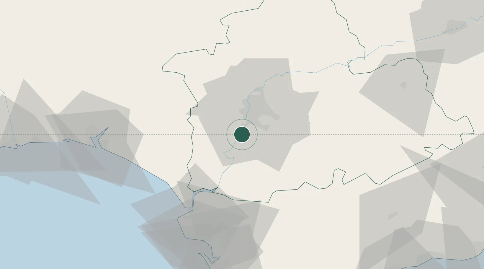
La Puebla Del Rio
37.2500°, -6.0500°
11,879
Population
1
Transport functions
Transport Functions
Multimodal
Hub Profile
Place type
Populated place
Region
Andalusia
Population
11,879
Time zone
Europe/Madrid
Elevation
22 m
Location
Nearby Logistics Neighbours
Cities
- 1Gelves10 km
- 2Montequinto14 km
- 3Sevilla15 km
- 4Isla Mayor17 km
- 5Valencina de la Concepcion19 km
Ports
- 1Sevilla14 km
- 2Rota75 km
- 3Huelva80 km
- 4Cadiz83 km
- 5Vila Real De S Antonio120 km
Airports
- 1Seville Airport23 km
- 2Madroñalejos Forest Fire fighting Heliport39 km
- 3Moron Air Base39 km
- 4Tomás Fernández Espada Airfield55 km
- 5Jerez Airport56 km
Trade Zones
- 1Zona Franca de Sevilla10 km
- 2Puerto de Huelva81 km
- 3Zona Franca de Cádiz85 km
- 4Depósito Franco de Algeciras137 km
- 5Depósito Franco de Málaga137 km
DatabookThe Record of Consolidated Knowledge
Spain beyond logistics?