UN/LOCODE hub · Spain
ESSVQ
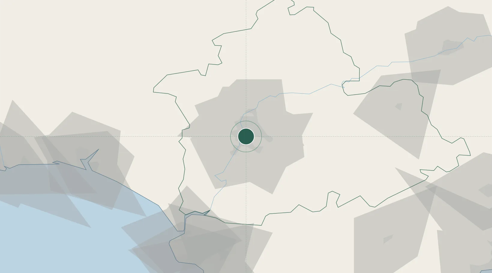
Sevilla
37.3691°, -5.9818°
686,741
Population
5
Transport functions
1
Container terminals
Transport Functions
Port
Rail
Road
Airport
Postal
Hub Profile
Place type
Regional capital
Region
Andalusia
Population
686,741
Time zone
Europe/Madrid
Elevation
16 m
Logistics facilities
11
Container terminals
1
Location
Nearby Logistics Neighbours
Cities
- 1Gelves5 km
- 2Montequinto6 km
- 3Valencina de la Concepcion9 km
- 4La Puebla Del Rio15 km
- 5Alcala del Rio17 km
Ports
- 1Huelva87 km
- 2Rota89 km
- 3Cadiz97 km
- 4Vila Real De S Antonio127 km
- 5Algeciras146 km
Airports
- 1Seville Airport10 km
- 2Madroñalejos Forest Fire fighting Heliport33 km
- 3Moron Air Base39 km
- 4Tomás Fernández Espada Airfield63 km
- 5Jerez Airport70 km
Trade Zones
- 1Zona Franca de Sevilla4 km
- 2Puerto de Huelva87 km
- 3Zona Franca de Cádiz100 km
- 4Depósito Franco de Málaga134 km
- 5Depósito Franco de Algeciras147 km
DatabookThe Record of Consolidated Knowledge
Spain beyond logistics?