Transport Functions
Multimodal
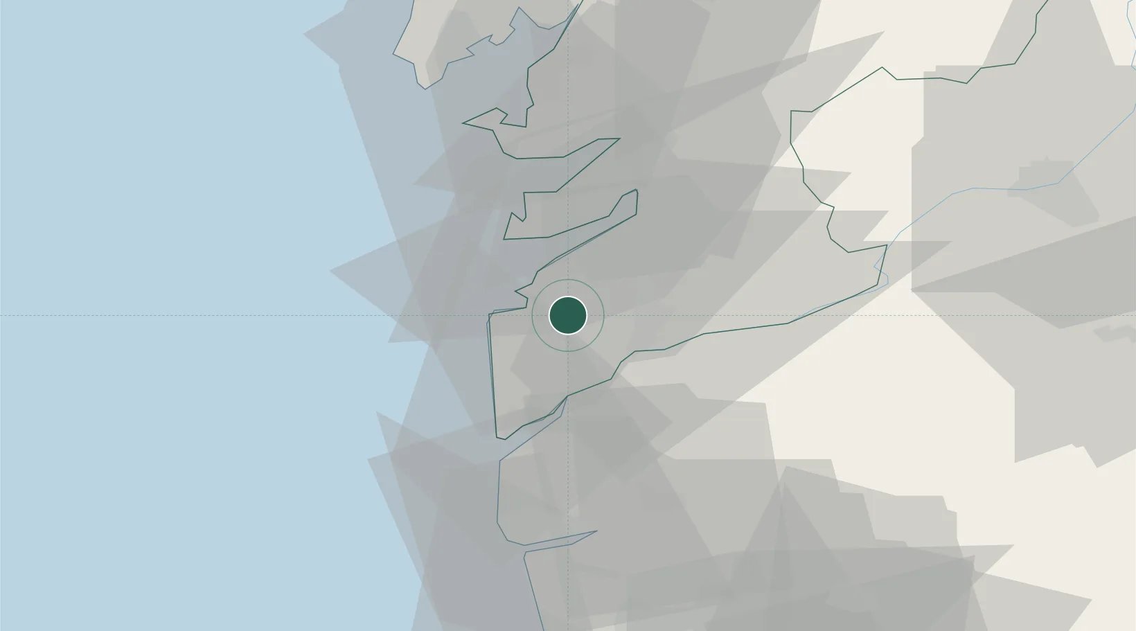
Hub Profile
Place type
District seat
Region
Galicia
Population
13,841
Time zone
Europe/Madrid
Elevation
52 m
Location
Nearby Logistics Neighbours
Cities
- 1Baiona7 km
- 2Porriño11 km
- 3Tui11 km
- 4Sanguineda12 km
- 5Túy12 km
Ports
- 1Vigo13 km
- 2Marin32 km
- 3Viana Do Castelo47 km
- 4Villagarcia De Arosa54 km
- 5Porto De Leixoes104 km
Airports
Trade Zones
- 1Zona Franca de Vigo13 km
- 2Zona Livre Tecnológica Masotinhos105 km
- 3VGP Park Santa Maria da Feira133 km
- 4Depósito Franco de La Coruña141 km
- 5Depósito Franco de Gijón297 km
DatabookThe Record of Consolidated Knowledge
Spain beyond logistics?