Transport Functions
Multimodal
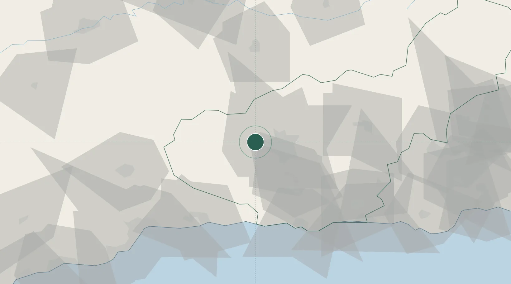
Hub Profile
Place type
District seat
Region
Andalusia
Population
3,955
Time zone
Europe/Madrid
Elevation
546 m
Location
Nearby Logistics Neighbours
Cities
- 1Lachar5 km
- 2Santa Fe7 km
- 3Maracena13 km
- 4Las Gabias14 km
- 5Alhendin16 km
Ports
- 1Motril57 km
- 2Malaga79 km
- 3Adra86 km
- 4Almeria124 km
- 5Puerto De Carboneras170 km
Airports
- 1F.G.L. Airport Granada-Jaén Airport3 km
- 2Armilla Air Base16 km
- 3Málaga-Costa del Sol Airport88 km
- 4Córdoba Airport117 km
- 5Almería Airport132 km
Trade Zones
DatabookThe Record of Consolidated Knowledge
Spain beyond logistics?