UN/LOCODE hub · Spain
ESZGV

Las Gabias

37.1167°, -3.6833°
16,369
Population
1
Transport functions

Transport Functions

Multimodal
UN/LOCODE

Hub Profile

Place type
District seat
GeoNames
Region
Andalusia
GeoNames
Population
16,369
GeoNames
Time zone
Europe/Madrid
GeoNames
Elevation
686 m
GeoNames

Location

Location of ESZGV
Natural Earth 10m (public domain) · Andalusia · ESZGV · 37.12, -3.68GoogleOSMYandex

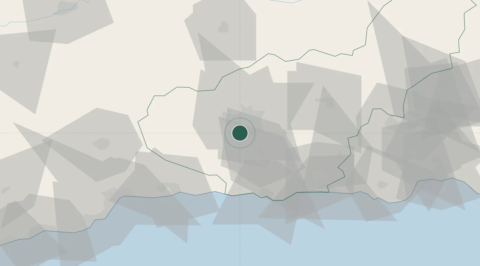
Nearby Logistics Neighbours

Cities
  1. 1Alhendin3 km
  2. 2Armilla7 km
  3. 3Ogijares7 km
  4. 4Santa Fe8 km
  5. 5Escuzar9 km
Nearest neighbours — logibook spatial index (haversine) over the source coordinates
Ports
  1. 1Motril43 km
  2. 2Adra72 km
  3. 3Malaga79 km
  4. 4Almeria113 km
  5. 5Puerto De Carboneras160 km
Nearest neighbours — logibook spatial index (haversine) over the source coordinates
Airports
  1. 1Armilla Air Base5 km
  2. 2F.G.L. Airport Granada-Jaén Airport12 km
  3. 3Málaga-Costa del Sol Airport88 km
  4. 4Almería Airport121 km
  5. 5Córdoba Airport131 km
Nearest neighbours — logibook spatial index (haversine) over the source coordinates
Trade Zones
  1. 1Depósito Franco de Málaga75 km
  2. 2Depósito Franco de Algeciras191 km
  3. 3Autonomous City of Ceuta200 km
  4. 4Zona Franca de Sevilla207 km
  5. 5Melilla Autonomous Community214 km
Nearest neighbours — logibook spatial index (haversine) over the source coordinates
DatabookThe Record of Consolidated Knowledge
Spain beyond logistics?
Browse databook

All Sources

LocationsUN/LOCODE
UN/LOCODE — free
LocationsGeoNames
CC BY 4.0
Portsthe NGA World Port Index
Public domain (US gov)
AirportsOurAirports
Public domain
Trade Zonesthe World Bank SEZ database
CC BY 4.0
Trade ZonesOpen Zone Map
CC BY
← Spain locations