Transport Functions
Port
Rail
Multimodal
Postal
Hub Profile
Place type
District seat
Region
Andalusia
Population
20,815
Time zone
Europe/Madrid
Elevation
662 m
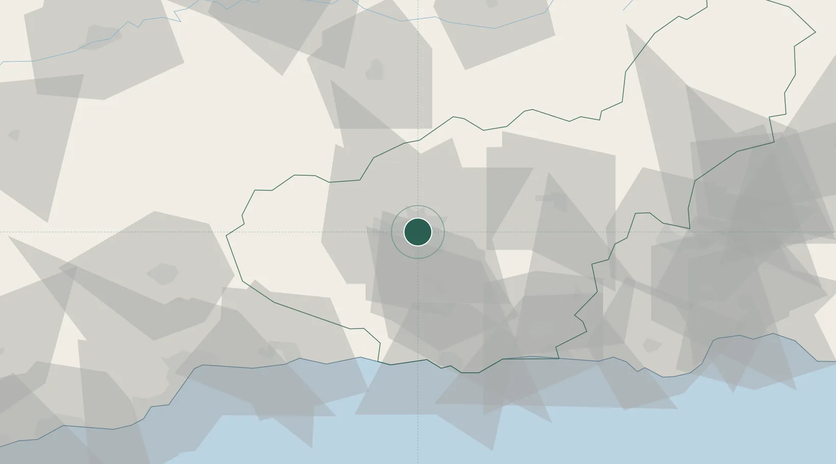
Location
Nearby Logistics Neighbours
Cities
- 1Armilla6 km
- 2Santa Fe8 km
- 3Alhendin9 km
- 4Ogijares10 km
- 5Las Gabias10 km
Ports
- 1Motril51 km
- 2Adra74 km
- 3Malaga88 km
- 4Almeria111 km
- 5Puerto De Carboneras157 km
Airports
- 1Armilla Air Base7 km
- 2F.G.L. Airport Granada-Jaén Airport13 km
- 3Málaga-Costa del Sol Airport97 km
- 4Almería Airport119 km
- 5Córdoba Airport129 km
Trade Zones
- 1Depósito Franco de Málaga81 km
- 2Depósito Franco de Algeciras200 km
- 3Autonomous City of Ceuta210 km
- 4Zona Franca de Sevilla210 km
- 5Melilla Autonomous Community221 km
DatabookThe Record of Consolidated Knowledge
Spain beyond logistics?