Transport Functions
Port
Road
Hub Profile
Place type
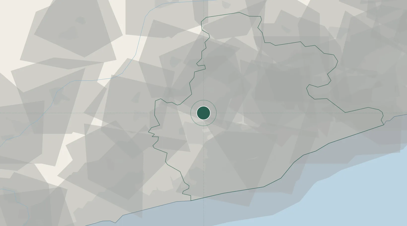
District seat
Region
Catalonia
Population
499
Time zone
Europe/Madrid
Elevation
358 m
Location
Nearby Logistics Neighbours
Cities
- 1Sant Pere de Sallavinera12 km
- 2Castellgali12 km
- 3Santpedor13 km
- 4Suria14 km
- 5Cabrianes18 km
Ports
- 1Villanueva Y Geltru54 km
- 2Barcelona56 km
- 3Tarragona79 km
- 4San Feliu De Guixols111 km
- 5Palamos118 km
Airports
Trade Zones
- 1Zona Franca de Barcelona55 km
- 2Depósito Franco de Tarragona77 km
- 3ZFU Perpignan147 km
- 4Depósito Franco de Zaragoza205 km
- 5ZFU Toulouse211 km
DatabookThe Record of Consolidated Knowledge
Spain beyond logistics?