Transport Functions
Multimodal
Hub Profile
Place type
District seat
Region
Catalonia
Population
327
Time zone
Europe/Madrid
Elevation
99 m
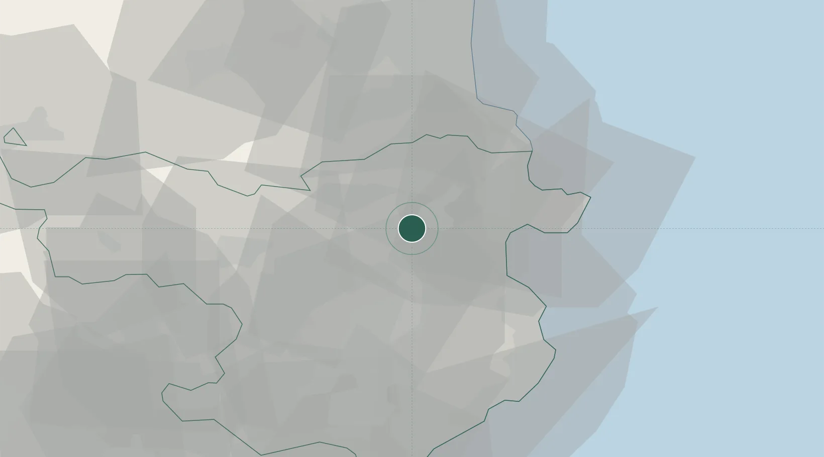
Location
Nearby Logistics Neighbours
Cities
- 1Vilafant4 km
- 2Santa Llogaia de Alguema5 km
- 3Figueras6 km
- 4Vilamalla7 km
- 5Sant Miquel de Fluvià12 km
Ports
- 1Rosas23 km
- 2Port-Vendres35 km
- 3Palamos50 km
- 4San Feliu De Guixols53 km
- 5Port-La-Nouvelle86 km
Airports
Trade Zones
- 1ZFU Perpignan50 km
- 2Zona Franca de Barcelona120 km
- 3ZFU Béziers123 km
- 4ZFU Montpellier169 km
- 5Depósito Franco de Tarragona186 km
DatabookThe Record of Consolidated Knowledge
Spain beyond logistics?