Transport Functions
Rail
Road
Multimodal
Hub Profile
Place type
Populated place
Region
Castille and León
Time zone
Europe/Madrid
Elevation
1,012 m
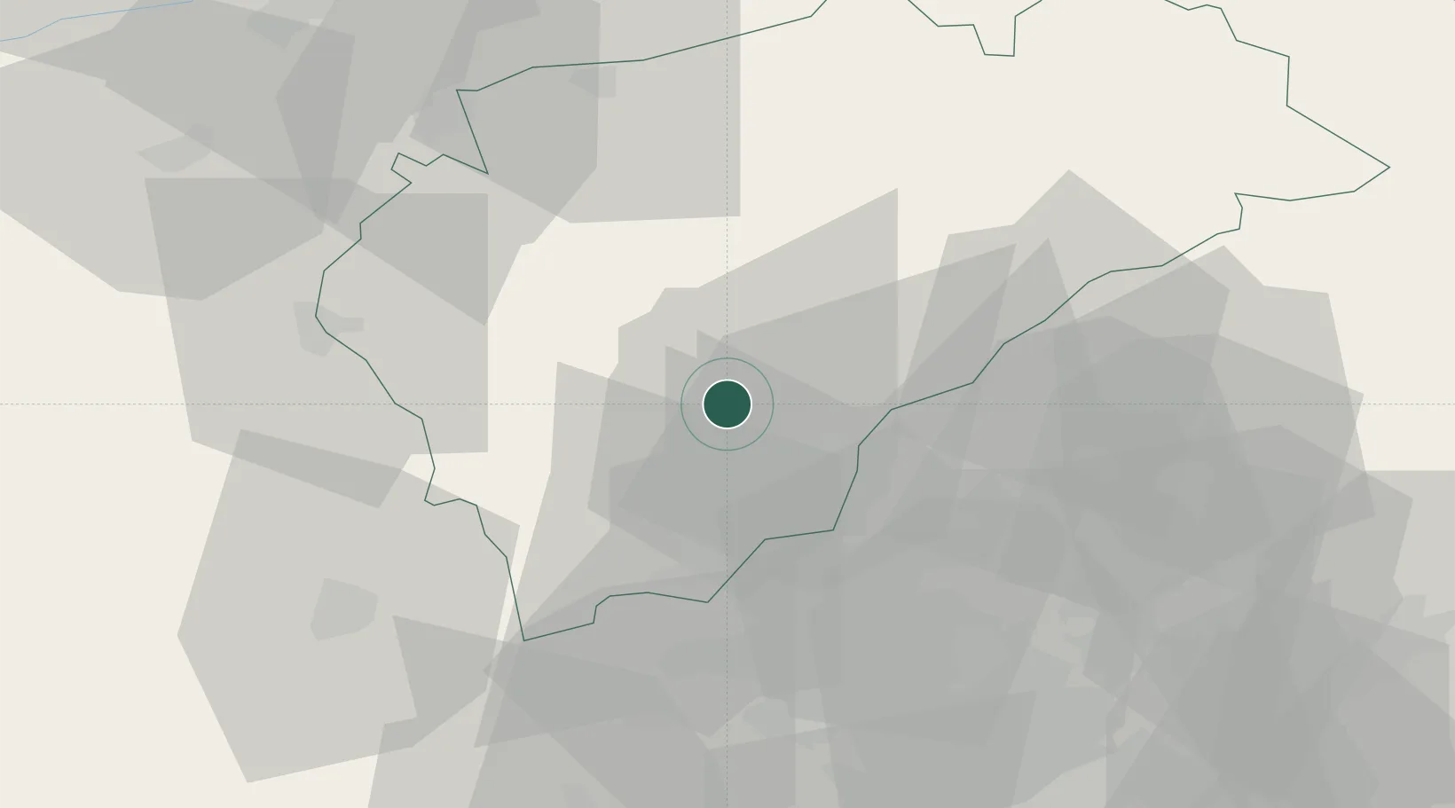
Location
Nearby Logistics Neighbours
Cities
- 1Segovia5 km
- 2Hontoria8 km
- 3Mozoncillo21 km
- 4Fuentepelayo28 km
- 5Guadarrama32 km
Ports
- 1Santander280 km
- 2Puerto De Bilbao280 km
- 3Bermeo296 km
- 4Gijon314 km
- 5Puerto De Pasajes320 km
Airports
Trade Zones
DatabookThe Record of Consolidated Knowledge
Spain beyond logistics?