Transport Functions
Road
Multimodal
Fixed Transport
Hub Profile
Place type
District seat
Region
Castille and León
Population
979
Time zone
Europe/Madrid
Elevation
869 m
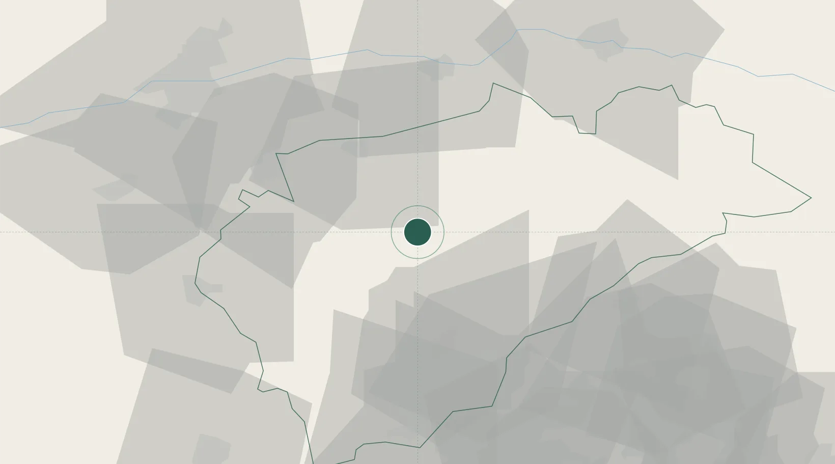
Location
Nearby Logistics Neighbours
Cities
- 1Mozoncillo8 km
- 2Mudrián14 km
- 3Zamarramala28 km
- 4Segovia32 km
- 5San Miguel Del Arroyo34 km
Ports
- 1Santander252 km
- 2Puerto De Bilbao254 km
- 3Bermeo272 km
- 4Gijon287 km
- 5Puerto De Pasajes299 km
Airports
Trade Zones
DatabookThe Record of Consolidated Knowledge
Spain beyond logistics?