Transport Functions
Multimodal
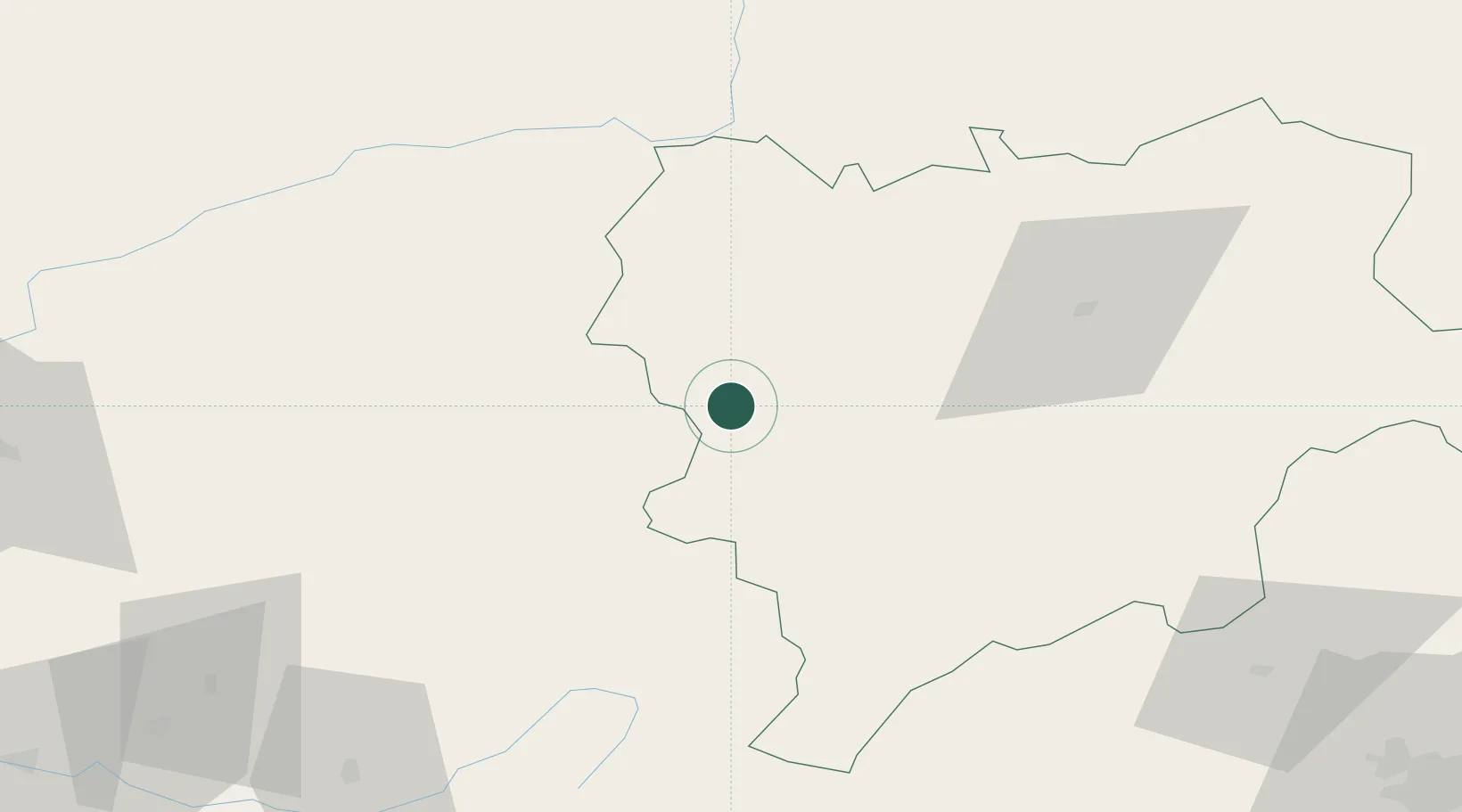
Hub Profile
Place type
District seat
Region
Castille-La Mancha
Population
475
Time zone
Europe/Madrid
Elevation
1,005 m
Location
Nearby Logistics Neighbours
Cities
- 1Canaleja10 km
- 2Montiel26 km
- 3La Alberquilla33 km
- 4Genave41 km
- 5Geneva42 km
Ports
- 1Aguilas178 km
- 2Torrevieja189 km
- 3Alicante189 km
- 4Puerto De Garrucha190 km
- 5Cartagena193 km
Airports
Trade Zones
- 1Depósito Franco de Alicante189 km
- 2Depósito Franco de Madrid-Aeropuerto205 km
- 3Depósito Franco de Valencia209 km
- 4Depósito Franco de Málaga258 km
- 5Zona Franca de Sevilla340 km
DatabookThe Record of Consolidated Knowledge
Spain beyond logistics?