Transport Functions
Multimodal
Hub Profile
Region
J
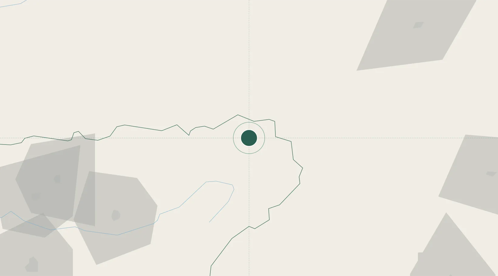
Location
Nearby Logistics Neighbours
Cities
- 1Genave3 km
- 2Puente de Genave11 km
- 3Canaleja34 km
- 4Montiel35 km
- 5Yeste35 km
Ports
- 1Aguilas151 km
- 2Puerto De Garrucha158 km
- 3Puerto De Carboneras173 km
- 4Cartagena177 km
- 5Almeria177 km
Airports
Trade Zones
- 1Depósito Franco de Alicante193 km
- 2Depósito Franco de Málaga222 km
- 3Depósito Franco de Valencia236 km
- 4Depósito Franco de Madrid-Aeropuerto239 km
- 5Zona Franca de Sevilla314 km
DatabookThe Record of Consolidated Knowledge
Spain beyond logistics?