Transport Functions
Multimodal
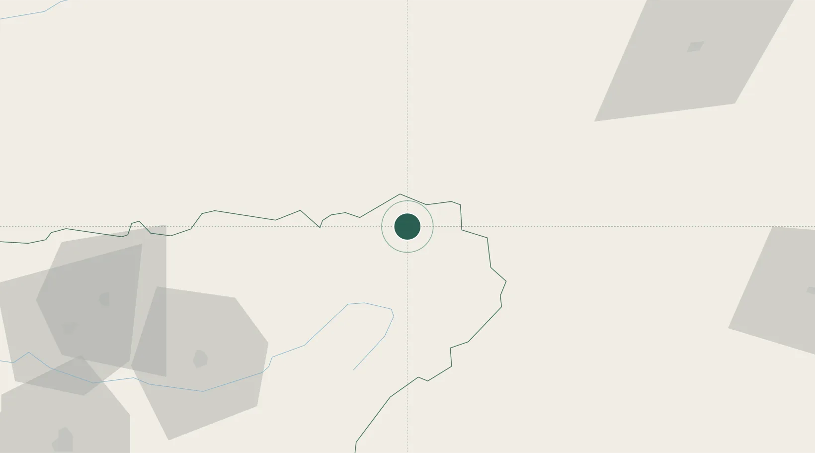
Hub Profile
Place type
District seat
Region
Andalusia
Population
592
Time zone
Europe/Madrid
Elevation
820 m
Location
Nearby Logistics Neighbours
Cities
- 1Geneva3 km
- 2Puente de Genave11 km
- 3Montiel32 km
- 4Canaleja34 km
- 5Yeste39 km
Ports
- 1Aguilas154 km
- 2Puerto De Garrucha161 km
- 3Puerto De Carboneras176 km
- 4Almeria180 km
- 5Cartagena180 km
Airports
Trade Zones
- 1Depósito Franco de Alicante196 km
- 2Depósito Franco de Málaga221 km
- 3Depósito Franco de Madrid-Aeropuerto236 km
- 4Depósito Franco de Valencia238 km
- 5Zona Franca de Sevilla312 km
DatabookThe Record of Consolidated Knowledge
Spain beyond logistics?