Transport Functions
Port
Hub Profile
Place type
District seat
Region
Castille-La Mancha
Population
1,688
Time zone
Europe/Madrid
Elevation
894 m
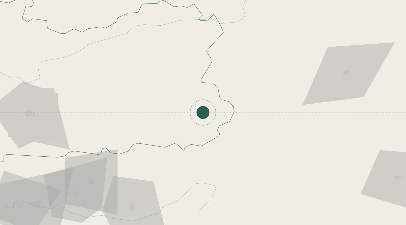
Location
Nearby Logistics Neighbours
Cities
- 1Viveros26 km
- 2Canaleja28 km
- 3Genave32 km
- 4Geneva35 km
- 5Puente de Genave39 km
Ports
- 1Aguilas184 km
- 2Puerto De Garrucha192 km
- 3Cartagena206 km
- 4Torrevieja207 km
- 5Puerto De Carboneras208 km
Airports
Trade Zones
- 1Depósito Franco de Madrid-Aeropuerto204 km
- 2Depósito Franco de Alicante211 km
- 3Depósito Franco de Málaga235 km
- 4Depósito Franco de Valencia235 km
- 5Zona Franca de Sevilla314 km
DatabookThe Record of Consolidated Knowledge
Spain beyond logistics?