Transport Functions
Multimodal
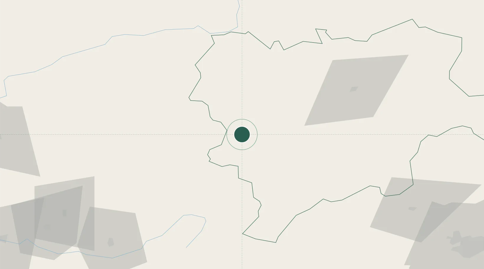
Hub Profile
Place type
Populated place
Region
Castille-La Mancha
Time zone
Europe/Madrid
Elevation
950 m
Location
Nearby Logistics Neighbours
Cities
- 1Viveros10 km
- 2Montiel28 km
- 3Genave34 km
- 4Geneva34 km
- 5La Alberquilla35 km
Ports
- 1Aguilas168 km
- 2Puerto De Garrucha181 km
- 3Torrevieja182 km
- 4Alicante184 km
- 5Cartagena185 km
Airports
Trade Zones
- 1Depósito Franco de Alicante184 km
- 2Depósito Franco de Valencia210 km
- 3Depósito Franco de Madrid-Aeropuerto214 km
- 4Depósito Franco de Málaga253 km
- 5Zona Franca de Sevilla338 km
DatabookThe Record of Consolidated Knowledge
Spain beyond logistics?