Transport Functions
Multimodal
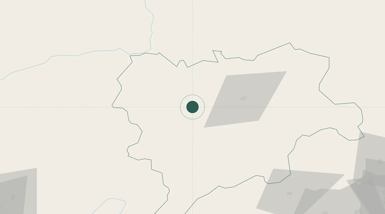
Hub Profile
Place type
Populated place
Region
Castille-La Mancha
Time zone
Europe/Madrid
Elevation
813 m
Location
Nearby Logistics Neighbours
Ports
- 1Alicante167 km
- 2Torrevieja173 km
- 3Valencia177 km
- 4Aguilas179 km
- 5Puerto De Gandia182 km
Airports
Trade Zones
DatabookThe Record of Consolidated Knowledge
Spain beyond logistics?