Transport Functions
Port
Road
Hub Profile
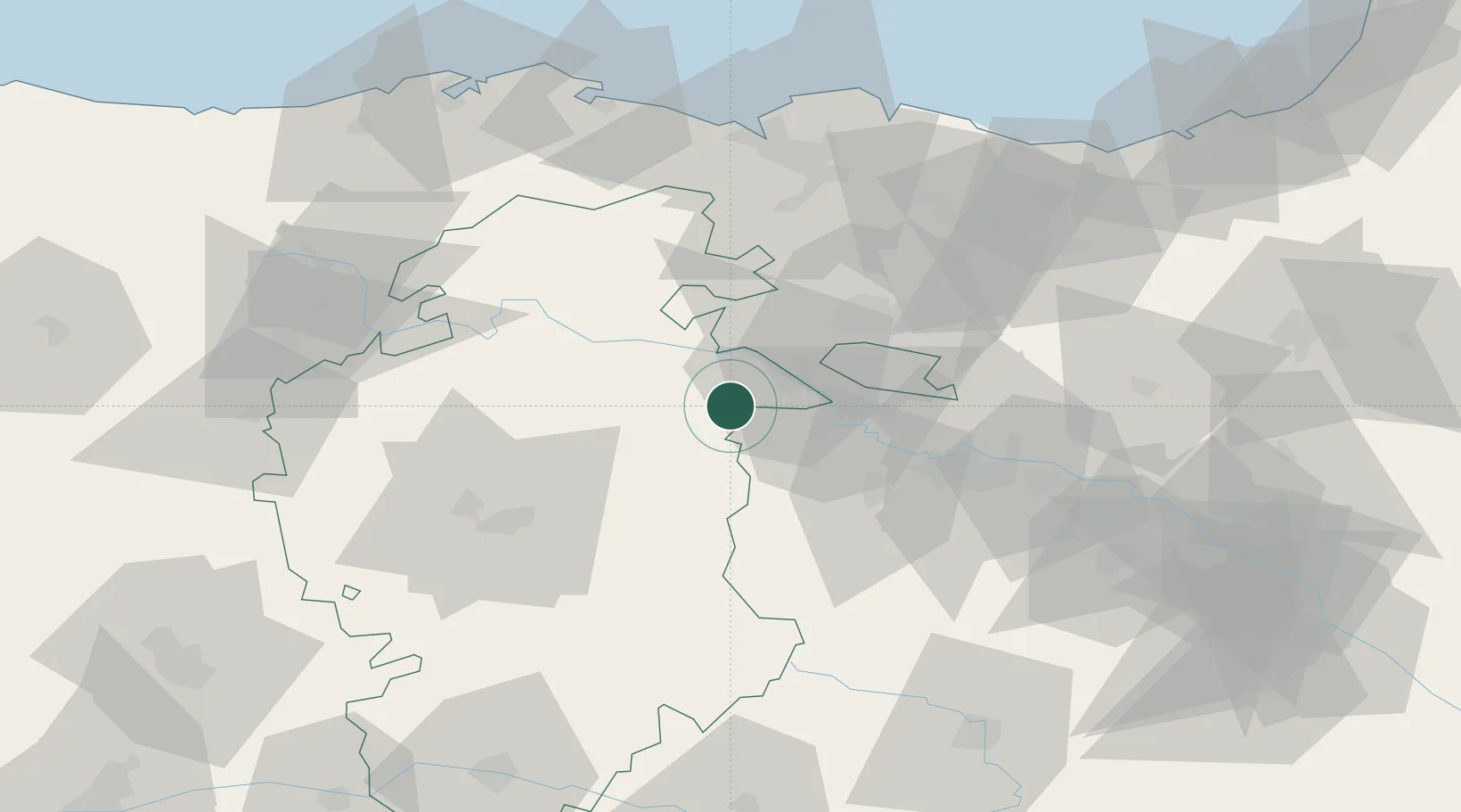
Place type
District seat
Region
Castille and León
Population
463
Time zone
Europe/Madrid
Elevation
641 m
Location
Nearby Logistics Neighbours
Cities
- 1Miranda de Ebro13 km
- 2Cuzcurrita del Rio Tirón14 km
- 3Tormantos15 km
- 4Cerezo de Rio Tiron17 km
- 5Berguenda17 km
Ports
- 1Puerto De Bilbao80 km
- 2Bermeo93 km
- 3Santander108 km
- 4Puerto De Pasajes123 km
- 5Bayonne164 km
Airports
- 1Vitoria Airport41 km
- 2Burgos Airport53 km
- 3Logroño-Agoncillo Airport67 km
- 4Bilbao Airport76 km
- 5Seve Ballesteros-Santander Airport106 km
Trade Zones
DatabookThe Record of Consolidated Knowledge
Spain beyond logistics?