Transport Functions
Rail
Road
Hub Profile
Place type
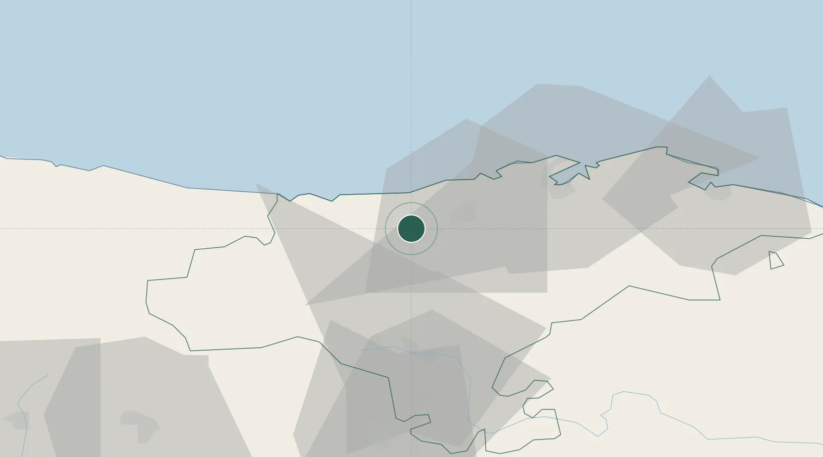
Populated place
Region
Cantabria
Time zone
Europe/Madrid
Elevation
104 m
Location
Nearby Logistics Neighbours
Cities
- 1Ucieda8 km
- 2Puente San Miguel10 km
- 3Barreda13 km
- 4San Vicente de la Barquera18 km
- 5Cudon19 km
Ports
- 1Santander36 km
- 2Puerto De Bilbao92 km
- 3Bermeo119 km
- 4Gijon123 km
- 5Aviles145 km
Airports
- 1Seve Ballesteros-Santander Airport32 km
- 2Bilbao Airport103 km
- 3Burgos Airport116 km
- 4Vitoria Airport128 km
- 5León Int'l Airport144 km
Trade Zones
DatabookThe Record of Consolidated Knowledge
Spain beyond logistics?