Transport Functions
Rail
Road
Hub Profile
Place type
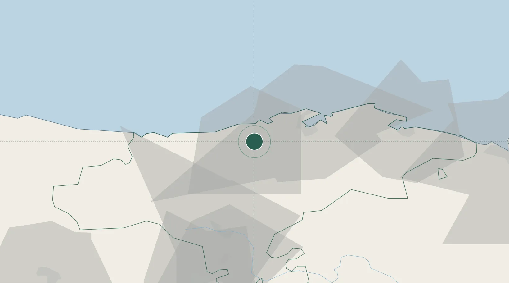
Populated place
Region
Cantabria
Time zone
Europe/Madrid
Elevation
16 m
Location
Nearby Logistics Neighbours
Cities
- 1Puente San Miguel4 km
- 2Cudon6 km
- 3Pielagos7 km
- 4Revilla de Camargo11 km
- 5Parbayon12 km
Ports
- 1Santander23 km
- 2Puerto De Bilbao80 km
- 3Bermeo107 km
- 4Gijon133 km
- 5Aviles156 km
Airports
- 1Seve Ballesteros-Santander Airport19 km
- 2Bilbao Airport91 km
- 3Burgos Airport117 km
- 4Vitoria Airport119 km
- 5León Int'l Airport158 km
Trade Zones
DatabookThe Record of Consolidated Knowledge
Spain beyond logistics?