Transport Functions
Port
Multimodal
Hub Profile
Region
S
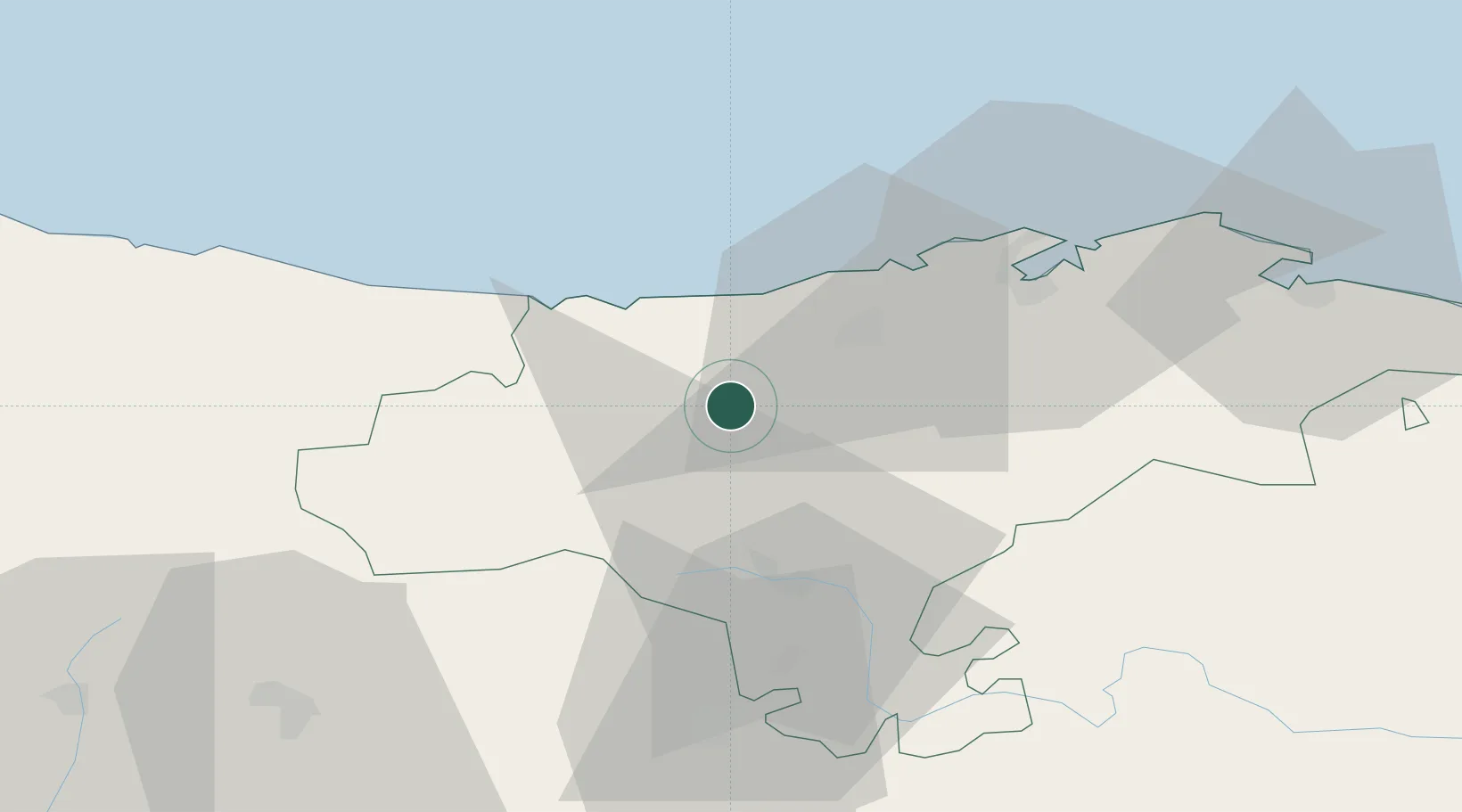
Location
Nearby Logistics Neighbours
Cities
- 1Villanueva de la Peña8 km
- 2Puente San Miguel18 km
- 3San Vicente de la Barquera19 km
- 4Portillo20 km
- 5Barreda21 km
Ports
- 1Santander44 km
- 2Puerto De Bilbao96 km
- 3Gijon121 km
- 4Bermeo124 km
- 5Aviles143 km
Airports
- 1Seve Ballesteros-Santander Airport39 km
- 2Bilbao Airport107 km
- 3Burgos Airport111 km
- 4Vitoria Airport129 km
- 5León Int'l Airport137 km
Trade Zones
DatabookThe Record of Consolidated Knowledge
Spain beyond logistics?