UN/LOCODE hub · Spain
ESSVB

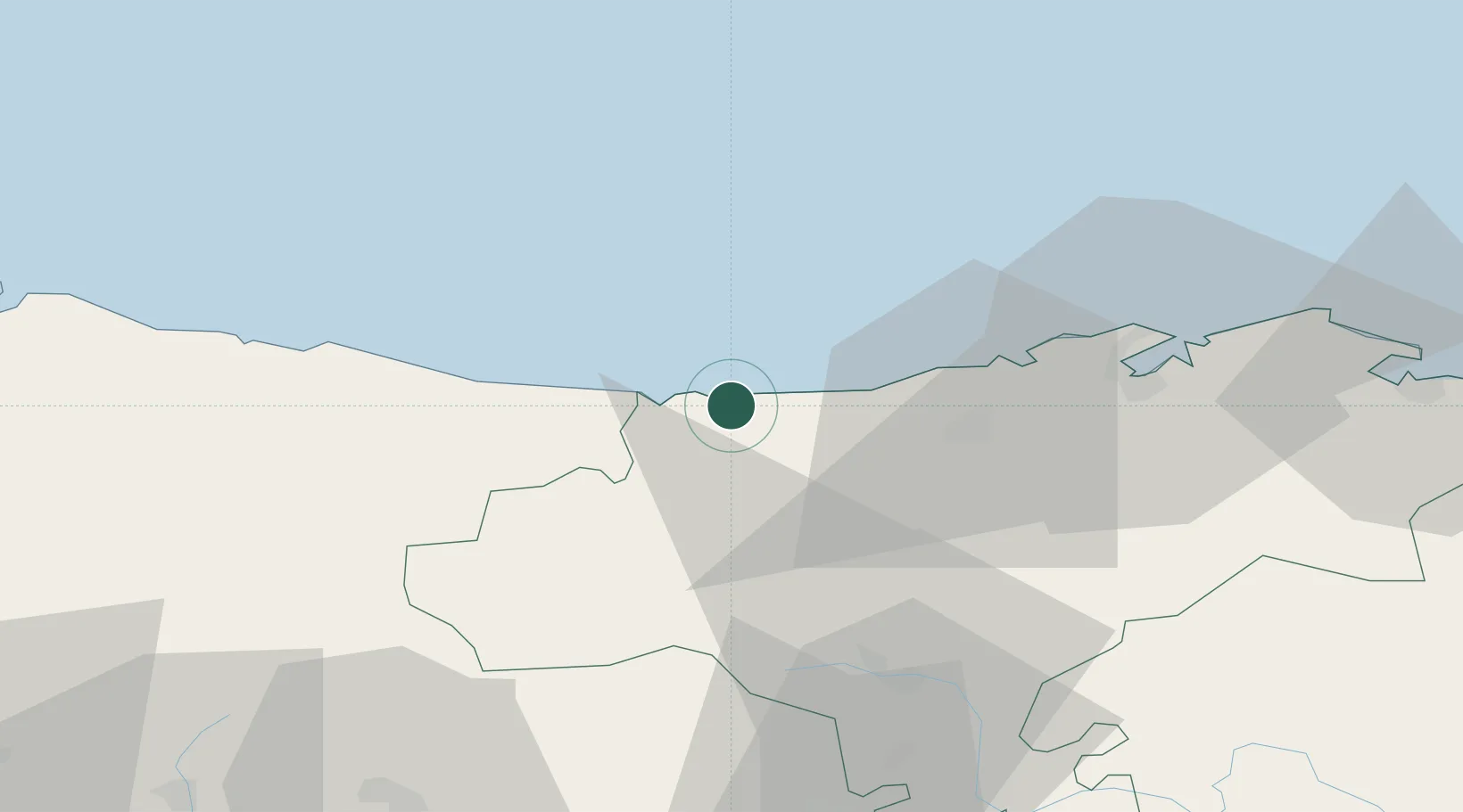
San Vicente de la Barquera

43.3833°, -4.3833°
4,158
Population
2
Transport functions

Transport Functions

Port
Road
UN/LOCODE

Hub Profile

Place type
District seat
GeoNames
Region
Cantabria
GeoNames
Population
4,158
GeoNames
Time zone
Europe/Madrid
GeoNames
Elevation
10 m
GeoNames

Location

Location of ESSVB
Natural Earth 10m (public domain) · Cantabria · ESSVB · 43.38, -4.38GoogleOSMYandex

Nearby Logistics Neighbours

Cities
  1. 1Portillo6 km
  2. 2Abanto12 km
  3. 3Villanueva de la Peña18 km
  4. 4Ucieda19 km
  5. 5Puente San Miguel24 km
Nearest neighbours — logibook spatial index (haversine) over the source coordinates
Ports
  1. 1Santander49 km
  2. 2Gijon105 km
  3. 3Puerto De Bilbao108 km
  4. 4Aviles127 km
  5. 5Bermeo135 km
Nearest neighbours — logibook spatial index (haversine) over the source coordinates
Airports
  1. 1Seve Ballesteros-Santander Airport46 km
  2. 2Bilbao Airport119 km
  3. 3Burgos Airport130 km
  4. 4Asturias Airport135 km
  5. 5León Int'l Airport136 km
Nearest neighbours — logibook spatial index (haversine) over the source coordinates
Trade Zones
  1. 1Zona Franca de Santander47 km
  2. 2Depósito Franco de Gijón108 km
  3. 3Depósito Franco de Bilbao109 km
  4. 4Depósito Franco de Villafría (Burgos)125 km
  5. 5Depósito Franco de Pasajes (Guipúzcoa)199 km
Nearest neighbours — logibook spatial index (haversine) over the source coordinates
DatabookThe Record of Consolidated Knowledge
Spain beyond logistics?
Browse databook

All Sources

LocationsUN/LOCODE
UN/LOCODE — free
LocationsGeoNames
CC BY 4.0
Portsthe NGA World Port Index
Public domain (US gov)
AirportsOurAirports
Public domain
Trade Zonesthe World Bank SEZ database
CC BY 4.0
Trade ZonesOpen Zone Map
CC BY
← Spain locations