UN/LOCODE hub · Spain
ESVDO

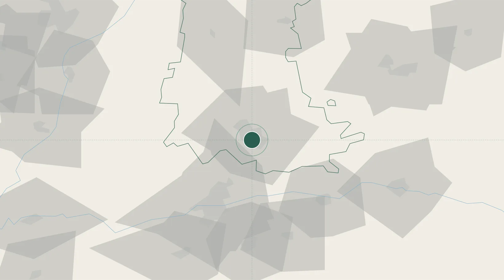
Villamuriel de Cerrato

41.9500°, -4.5167°
5,437
Population
2
Transport functions

Transport Functions

Rail
Road
UN/LOCODE

Hub Profile

Place type
District seat
GeoNames
Region
Castille and León
GeoNames
Population
5,437
GeoNames
Time zone
Europe/Madrid
GeoNames
Elevation
726 m
GeoNames

Location

Location of ESVDO
Natural Earth 10m (public domain) · Castille and León · ESVDO · 41.95, -4.52GoogleOSMYandex

Nearby Logistics Neighbours

Cities
  1. 1Venta de Baños4 km
  2. 2Palencia8 km
  3. 3Grijota12 km
  4. 4Becerril de Campos21 km
  5. 5Cigales25 km
Nearest neighbours — logibook spatial index (haversine) over the source coordinates
Ports
  1. 1Santander179 km
  2. 2Puerto De Bilbao197 km
  3. 3Gijon201 km
  4. 4Aviles217 km
  5. 5Bermeo220 km
Nearest neighbours — logibook spatial index (haversine) over the source coordinates
Airports
  1. 1Valladolid Airport39 km
  2. 2Burgos Airport87 km
  3. 3León Int'l Airport118 km
  4. 4Salamanca Airport138 km
  5. 5Seve Ballesteros-Santander Airport174 km
Nearest neighbours — logibook spatial index (haversine) over the source coordinates
Trade Zones
  1. 1Depósito Franco de Villafría (Burgos)80 km
  2. 2Zona Franca de Santander177 km
  3. 3Depósito Franco de Madrid-Aeropuerto184 km
  4. 4Depósito Franco de Bilbao196 km
  5. 5Depósito Franco de Gijón204 km
Nearest neighbours — logibook spatial index (haversine) over the source coordinates
DatabookThe Record of Consolidated Knowledge
Spain beyond logistics?
Browse databook

All Sources

LocationsUN/LOCODE
UN/LOCODE — free
LocationsGeoNames
CC BY 4.0
Portsthe NGA World Port Index
Public domain (US gov)
AirportsOurAirports
Public domain
Trade Zonesthe World Bank SEZ database
CC BY 4.0
Trade ZonesOpen Zone Map
CC BY
← Spain locations