Transport Functions
Multimodal
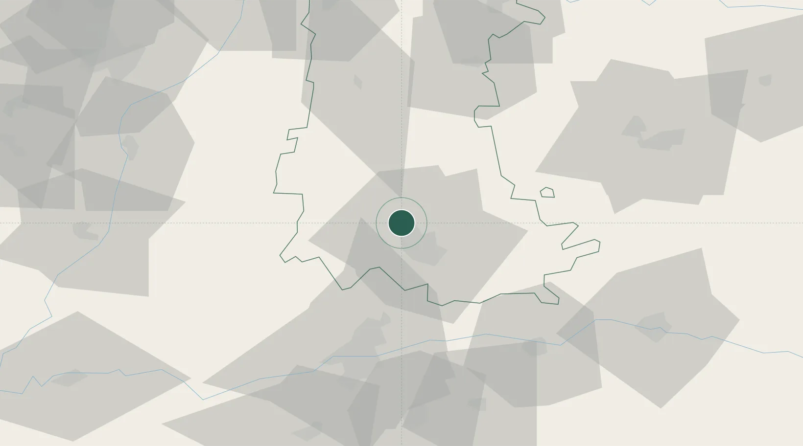
Hub Profile
Place type
District seat
Region
Castille and León
Population
1,047
Time zone
Europe/Madrid
Elevation
747 m
Location
Nearby Logistics Neighbours
Cities
- 1Palencia6 km
- 2Becerril de Campos9 km
- 3Villamuriel de Cerrato12 km
- 4Venta de Baños16 km
- 5Cisneros29 km
Ports
- 1Santander171 km
- 2Gijon189 km
- 3Puerto De Bilbao191 km
- 4Aviles205 km
- 5Bermeo215 km
Airports
- 1Valladolid Airport44 km
- 2Burgos Airport86 km
- 3León Int'l Airport107 km
- 4Salamanca Airport144 km
- 5Seve Ballesteros-Santander Airport165 km
Trade Zones
DatabookThe Record of Consolidated Knowledge
Spain beyond logistics?