Transport Functions
Port
Multimodal
Hub Profile
Place type
District seat
Region
Castille and León
Population
3,482
Time zone
Europe/Madrid
Elevation
749 m
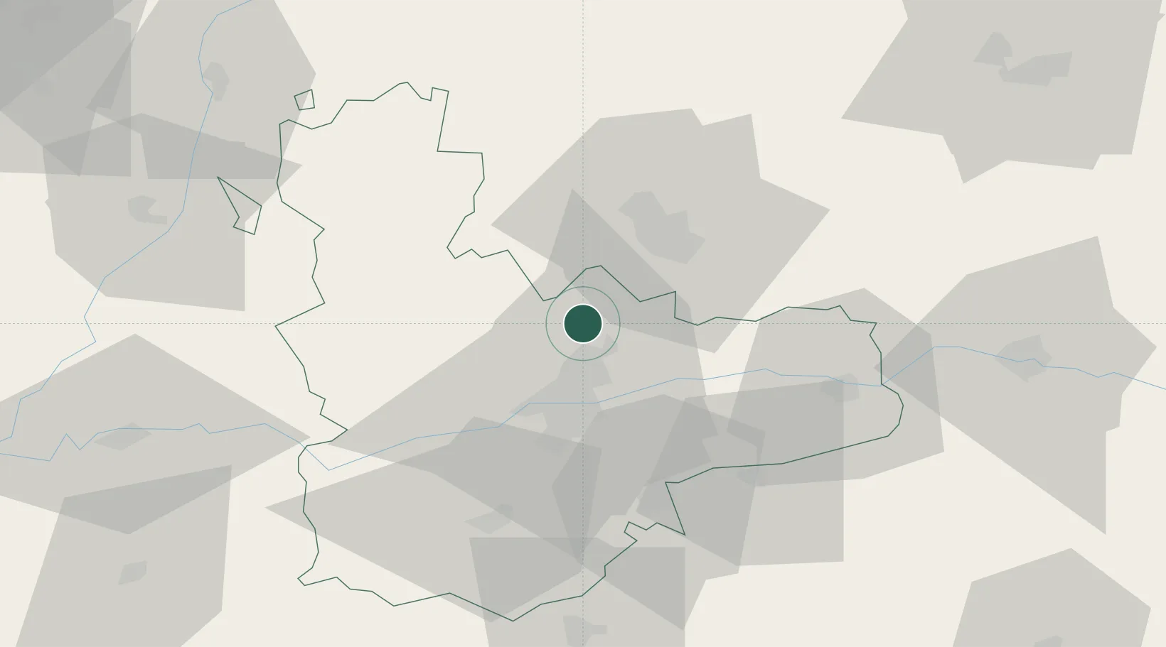
Location
Nearby Logistics Neighbours
Cities
- 1Cabezon7 km
- 2Zaratán13 km
- 3Laguna de Duero20 km
- 4Villabáñez21 km
- 5Venta de Baños24 km
Ports
- 1Santander203 km
- 2Gijon214 km
- 3Puerto De Bilbao222 km
- 4Aviles227 km
- 5Bermeo245 km
Airports
- 1Valladolid Airport14 km
- 2Burgos Airport111 km
- 3Salamanca Airport113 km
- 4León Int'l Airport121 km
- 5Bragança Airport167 km
Trade Zones
DatabookThe Record of Consolidated Knowledge
Spain beyond logistics?