UN/LOCODE hub · Spain
ESBCC
Becerril de Campos
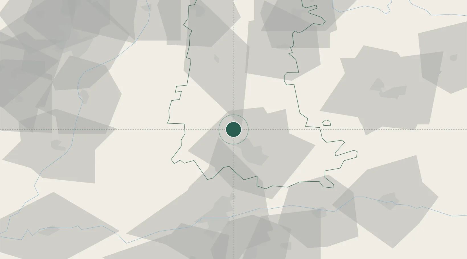
42.1167°, -4.6333°
1,021
Population
2
Transport functions
Transport Functions
Rail
Road
Hub Profile
Place type
District seat
Region
Castille and León
Population
1,021
Time zone
Europe/Madrid
Elevation
769 m
Location
Nearby Logistics Neighbours
Cities
- 1Grijota9 km
- 2Palencia14 km
- 3Villamuriel de Cerrato21 km
- 4Cisneros21 km
- 5Venta de Baños25 km
Ports
- 1Santander165 km
- 2Gijon180 km
- 3Puerto De Bilbao189 km
- 4Aviles196 km
- 5Bermeo213 km
Airports
- 1Valladolid Airport49 km
- 2Burgos Airport88 km
- 3León Int'l Airport99 km
- 4Salamanca Airport148 km
- 5Seve Ballesteros-Santander Airport160 km
Trade Zones
DatabookThe Record of Consolidated Knowledge
Spain beyond logistics?