Transport Functions
Rail
Road
Hub Profile
Place type
Provincial seat
Region
Castille and León
Population
78,629
Time zone
Europe/Madrid
Elevation
739 m
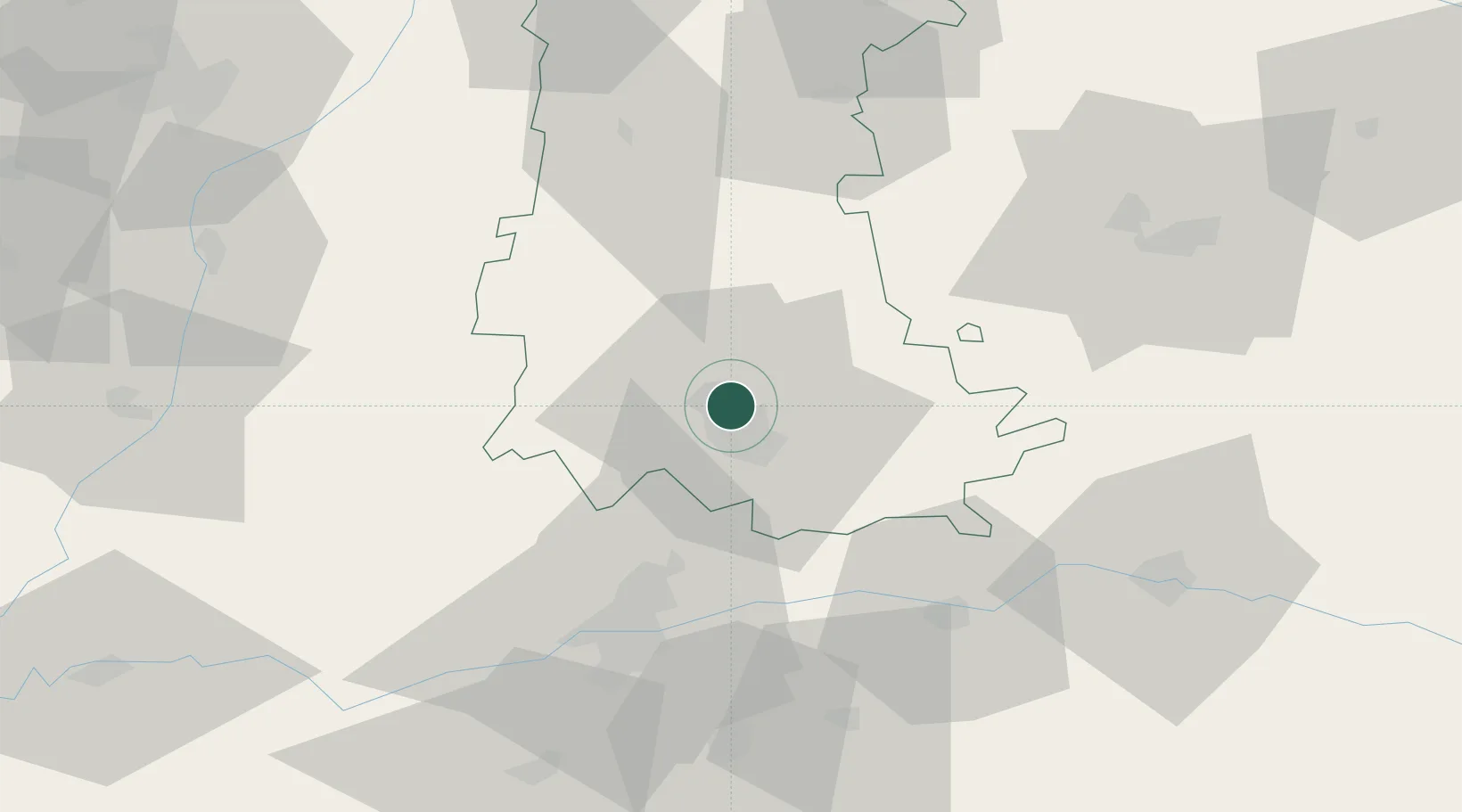
Location
Nearby Logistics Neighbours
Cities
- 1Grijota6 km
- 2Villamuriel de Cerrato8 km
- 3Venta de Baños12 km
- 4Becerril de Campos14 km
- 5Cigales31 km
Ports
- 1Santander173 km
- 2Puerto De Bilbao192 km
- 3Gijon194 km
- 4Aviles210 km
- 5Bermeo215 km
Airports
- 1Valladolid Airport44 km
- 2Burgos Airport84 km
- 3León Int'l Airport112 km
- 4Salamanca Airport143 km
- 5Seve Ballesteros-Santander Airport167 km
Trade Zones
DatabookThe Record of Consolidated Knowledge
Spain beyond logistics?