UN/LOCODE hub · Spain
ESURO

Urioste

43.3167°, -3.0333°
2
Transport functions

Transport Functions

Road
Multimodal
UN/LOCODE

Hub Profile

Region
BI
GeoNames

Location

Location of ESURO
Natural Earth 10m (public domain) · BI · ESURO · 43.32, -3.03GoogleOSMYandex

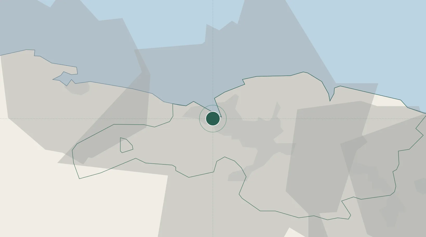
Nearby Logistics Neighbours

Cities
  1. 1Bilbao1 km
  2. 2Santurtz1 km
  3. 3Lejona3 km
  4. 4Ortuella3 km
  5. 5Gallarta3 km
Nearest neighbours — logibook spatial index (haversine) over the source coordinates
Ports
  1. 1Puerto De Bilbao4 km
  2. 2Bermeo28 km
  3. 3Santander63 km
  4. 4Puerto De Pasajes89 km
  5. 5Bayonne128 km
Nearest neighbours — logibook spatial index (haversine) over the source coordinates
Airports
  1. 1Bilbao Airport10 km
  2. 2Vitoria Airport54 km
  3. 3Seve Ballesteros-Santander Airport65 km
  4. 4San Sebastián Airport101 km
  5. 5Logroño-Agoncillo Airport111 km
Nearest neighbours — logibook spatial index (haversine) over the source coordinates
Trade Zones
  1. 1Depósito Franco de Bilbao2 km
  2. 2Zona Franca de Santander65 km
  3. 3Depósito Franco de Pasajes (Guipúzcoa)90 km
  4. 4Depósito Franco de Villafría (Burgos)119 km
  5. 5Depósito Franco de Gijón217 km
Nearest neighbours — logibook spatial index (haversine) over the source coordinates
DatabookThe Record of Consolidated Knowledge
Spain beyond logistics?
Browse databook

All Sources

LocationsUN/LOCODE
UN/LOCODE — free
Portsthe NGA World Port Index
Public domain (US gov)
AirportsOurAirports
Public domain
Trade Zonesthe World Bank SEZ database
CC BY 4.0
Trade ZonesOpen Zone Map
CC BY
← Spain locations