UN/LOCODE hub · Spain
ESBIO
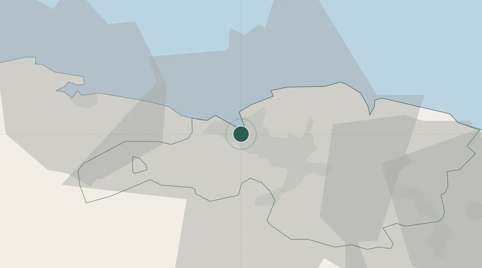
Bilbao
43.3187°, -3.0239°
347,342
Population
5
Transport functions
2
Container terminals
Transport Functions
Port
Rail
Road
Airport
Postal
Hub Profile
Place type
Provincial seat
Region
Basque Country
Population
347,342
Time zone
Europe/Madrid
Elevation
20 m
Logistics facilities
12
Container terminals
2
Location
Nearby Logistics Neighbours
Ports
- 1Bermeo27 km
- 2Santander64 km
- 3Puerto De Pasajes88 km
- 4Bayonne127 km
- 5Gijon215 km
Airports
- 1Bilbao Airport9 km
- 2Vitoria Airport54 km
- 3Seve Ballesteros-Santander Airport66 km
- 4San Sebastián Airport100 km
- 5Logroño-Agoncillo Airport111 km
Trade Zones
DatabookThe Record of Consolidated Knowledge
Spain beyond logistics?