Transport Functions
Rail
Road
Hub Profile
Place type
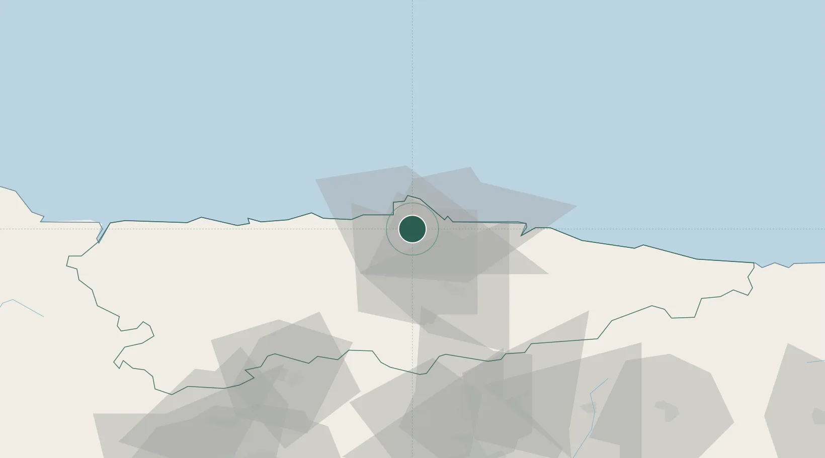
Populated place
Region
Asturias
Time zone
Europe/Madrid
Elevation
50 m
Location
Nearby Logistics Neighbours
Ports
- 1Aviles11 km
- 2Gijon14 km
- 3Ribadeo97 km
- 4San Ciprian130 km
- 5Santander166 km
Airports
- 1Asturias Airport17 km
- 2León Int'l Airport106 km
- 3Seve Ballesteros-Santander Airport163 km
- 4Bragança Airport200 km
- 5Valladolid Airport219 km
Trade Zones
DatabookThe Record of Consolidated Knowledge
Spain beyond logistics?