Large airport · Spain

Asturias AirportLEAS
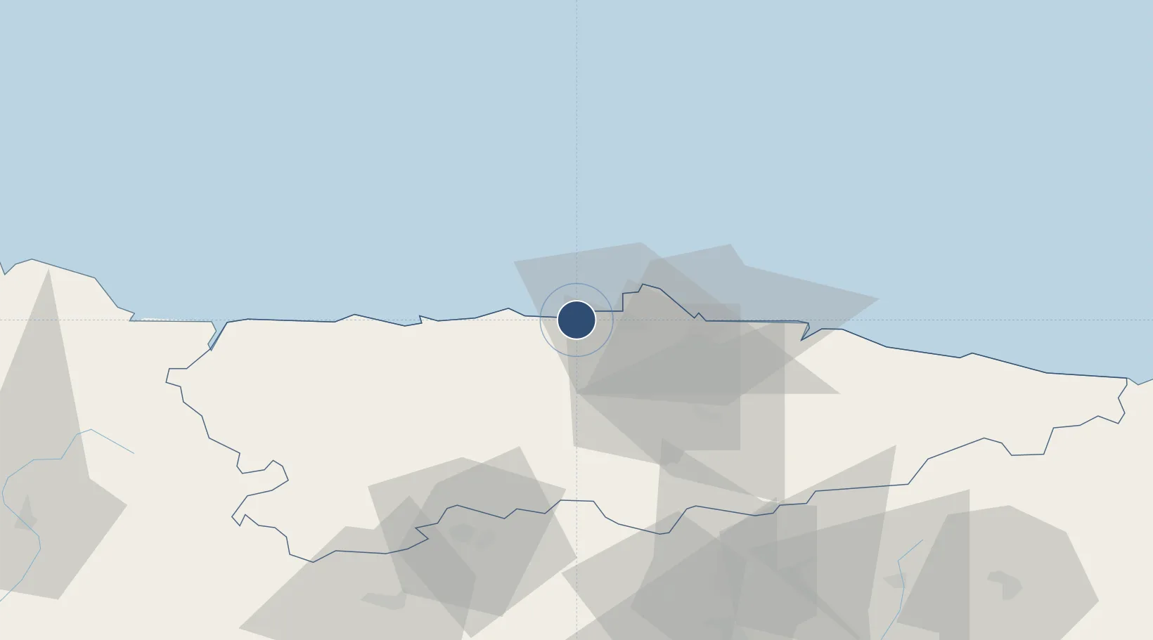
43.5636°, -6.0346°
7,218 ft
Longest runway
1
Runways
416 ft
Elevation

Runway & Layout

Asturias Airport runway & taxiway layout
Runway & taxiway layout — OpenStreetMap (ODbL) / OurAirports

Radio Frequencies

TWR
118.15 MHz
GND
121.7 MHz
APP
118.15 MHz
OurAirports

Navaids

AST NDB Asturias 325 kHz
AV NDB Asturias 387 kHz
VES VOR-DME Asturias 112.40 MHz
OurAirports

Runways · 1

RunwayDimensions SurfaceTrue headingLit
11/29 7,218 × 148ft Asphalt 109°
OurAirports

Airport Specifications

IATA code
OVD
OurAirports
ICAO code
LEAS
OurAirports
Airport class
Large airport
OurAirports
Scheduled service
Yes
OurAirports
Runway surface
Asphalt
OurAirports
Served city
Ranón
OurAirports

Location

Location of LEAS
Natural Earth 10m (public domain) · Asturias · LEAS · 43.56, -6.03GoogleOSMYandex

Nearby Logistics Neighbours

Airports
  1. 1León Int'l Airport113 km
  2. 2Seve Ballesteros-Santander Airport179 km
  3. 3A Coruña Airport191 km
  4. 4Bragança Airport198 km
  5. 5Santiago-Rosalía de Castro Airport207 km
Nearest neighbours — logibook spatial index (haversine) over the source coordinates
Cities
  1. 1La Ferreria3 km
  2. 2Riberas8 km
  3. 3Cudillero8 km
  4. 4Pravia11 km
  5. 5Lloreda12 km
Nearest neighbours — logibook spatial index (haversine) over the source coordinates
Ports
  1. 1Aviles9 km
  2. 2Gijon30 km
  3. 3Ribadeo81 km
  4. 4San Ciprian114 km
  5. 5Ferrol178 km
Nearest neighbours — logibook spatial index (haversine) over the source coordinates
Trade Zones
  1. 1Depósito Franco de Gijón28 km
  2. 2Zona Franca de Santander180 km
  3. 3Depósito Franco de La Coruña192 km
  4. 4Depósito Franco de Villafría (Burgos)230 km
  5. 5Depósito Franco de Bilbao243 km
Nearest neighbours — logibook spatial index (haversine) over the source coordinates
DatabookThe Record of Consolidated Knowledge
Spain beyond logistics?
Browse databook

All Sources

AirportsOurAirports
Public domain
Portsthe NGA World Port Index
Public domain (US gov)
LocationsUN/LOCODE
UN/LOCODE — free
Trade Zonesthe World Bank SEZ database
CC BY 4.0
Trade ZonesOpen Zone Map
CC BY
InfrastructureOpenStreetMap
ODbL 1.0
← Spain airports