UN/LOCODE hub · Spain
ESGIJ
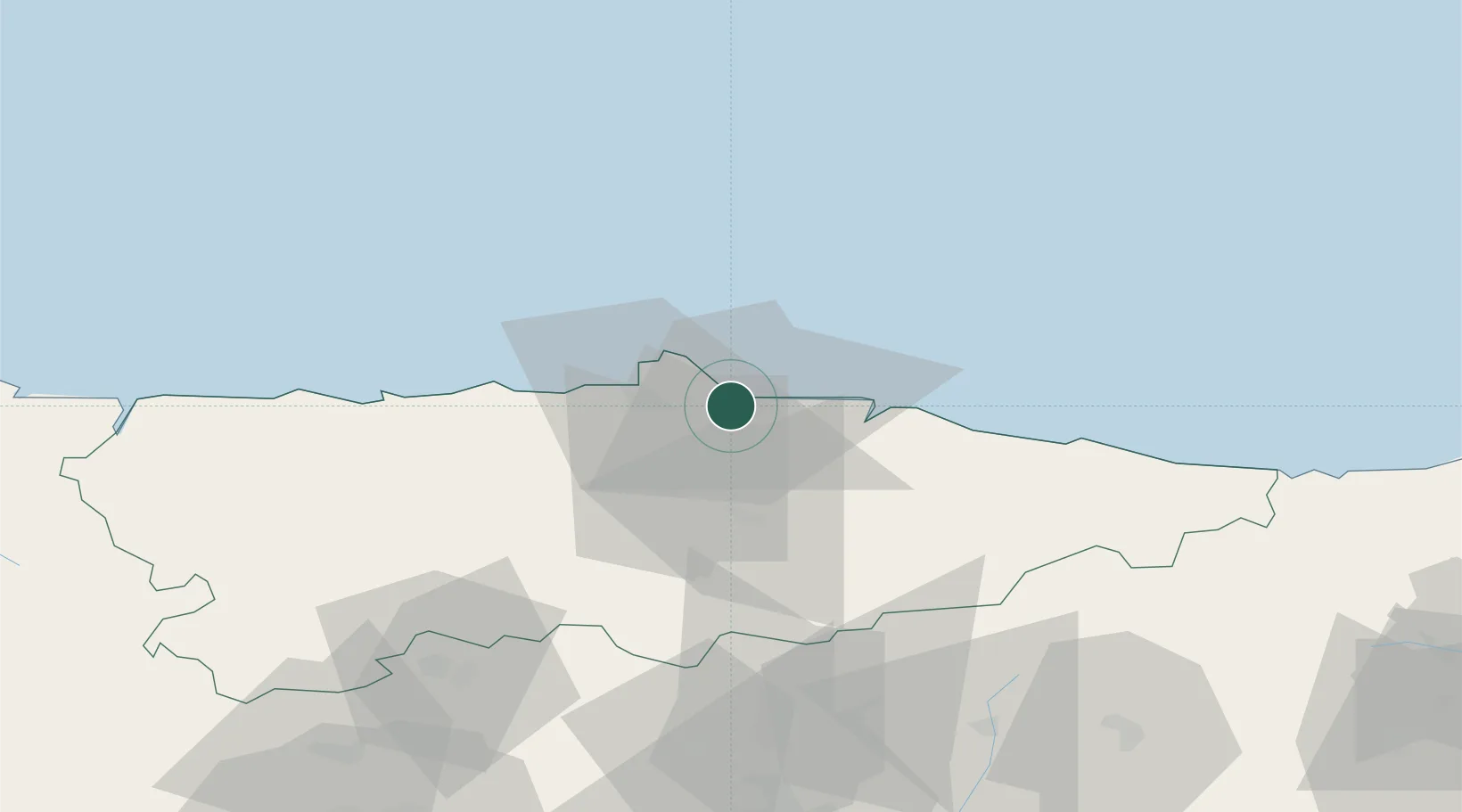
Gijón
43.5420°, -5.7055°
271,780
Population
4
Transport functions
1
Container terminals
Transport Functions
Port
Rail
Road
Airport
Hub Profile
Place type
District seat
Region
Asturias
Population
271,780
Time zone
Europe/Madrid
Elevation
22 m
Logistics facilities
13
Container terminals
1
Location
Nearby Logistics Neighbours
Cities
- 1Verina1 km
- 2Tremanes2 km
- 3Musel-Arnao3 km
- 4Porceyo5 km
- 5Trubia5 km
Ports
- 1Aviles20 km
- 2Ribadeo107 km
- 3San Ciprian140 km
- 4Santander155 km
- 5Ferrol204 km
Airports
- 1Asturias Airport27 km
- 2León Int'l Airport106 km
- 3Seve Ballesteros-Santander Airport153 km
- 4Bragança Airport204 km
- 5Burgos Airport215 km
Trade Zones
DatabookThe Record of Consolidated Knowledge
Spain beyond logistics?