Transport Functions
Port
Rail
Road
Multimodal
Hub Profile
Place type
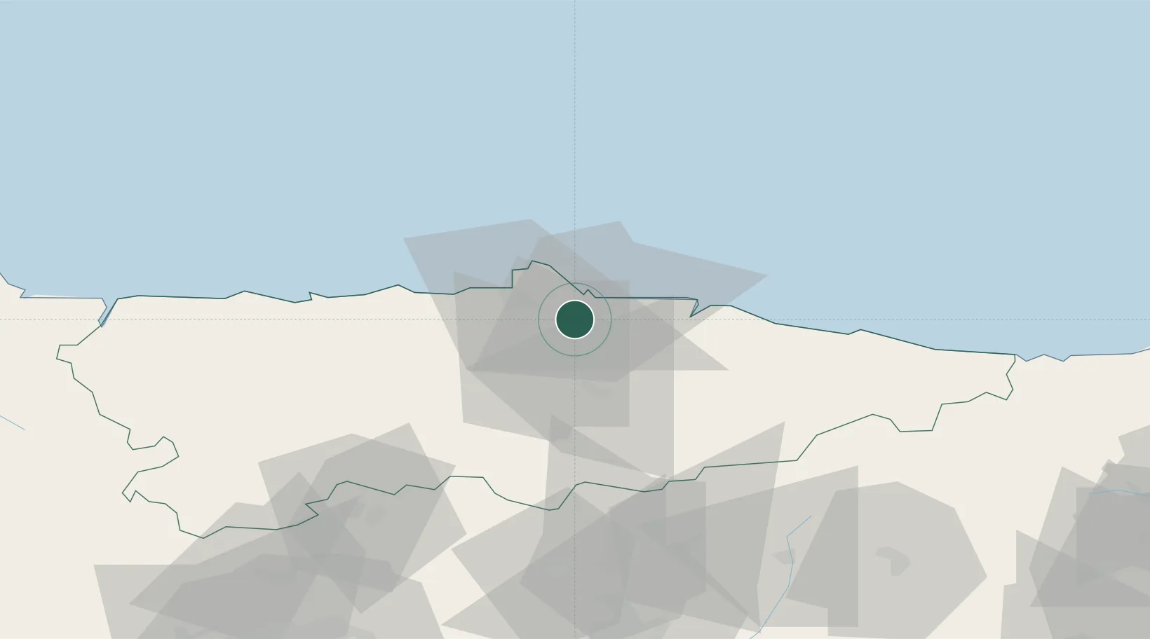
Populated place
Region
Asturias
Time zone
Europe/Madrid
Elevation
109 m
Location
Nearby Logistics Neighbours
Cities
- 1Porceyo3 km
- 2Verina4 km
- 3Gijón5 km
- 4Tremanes6 km
- 5Musel-Arnao8 km
Ports
- 1Gijon8 km
- 2Aviles20 km
- 3Ribadeo105 km
- 4San Ciprian139 km
- 5Santander157 km
Airports
- 1Asturias Airport25 km
- 2León Int'l Airport101 km
- 3Seve Ballesteros-Santander Airport155 km
- 4Bragança Airport199 km
- 5Valladolid Airport212 km
Trade Zones
DatabookThe Record of Consolidated Knowledge
Spain beyond logistics?