UN/LOCODE hub · Spain
ESLLA

Lloreda

43.6167°, -5.9000°
2
Transport functions

Transport Functions

Road
Multimodal
UN/LOCODE

Hub Profile

Place type
Populated place
GeoNames
Region
Asturias
GeoNames
Time zone
Europe/Madrid
GeoNames
Elevation
92 m
GeoNames

Location

Location of ESLLA
Natural Earth 10m (public domain) · Asturias · ESLLA · 43.62, -5.90GoogleOSMYandex

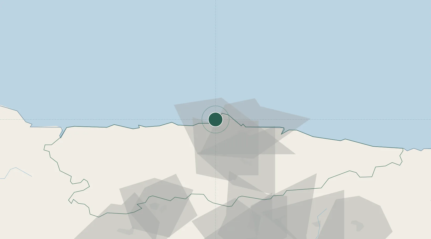
Nearby Logistics Neighbours

Cities
  1. 1Gozon10 km
  2. 2Tamón11 km
  3. 3La Ferreria14 km
  4. 4Musel-Arnao17 km
  5. 5Verina17 km
Nearest neighbours — logibook spatial index (haversine) over the source coordinates
Ports
  1. 1Aviles3 km
  2. 2Gijon20 km
  3. 3Ribadeo92 km
  4. 4San Ciprian124 km
  5. 5Santander171 km
Nearest neighbours — logibook spatial index (haversine) over the source coordinates
Airports
  1. 1Asturias Airport12 km
  2. 2León Int'l Airport116 km
  3. 3Seve Ballesteros-Santander Airport169 km
  4. 4Bragança Airport206 km
  5. 5Valladolid Airport229 km
Nearest neighbours — logibook spatial index (haversine) over the source coordinates
Trade Zones
  1. 1Depósito Franco de Gijón18 km
  2. 2Zona Franca de Santander169 km
  3. 3Depósito Franco de La Coruña203 km
  4. 4Depósito Franco de Villafría (Burgos)225 km
  5. 5Depósito Franco de Bilbao233 km
Nearest neighbours — logibook spatial index (haversine) over the source coordinates
DatabookThe Record of Consolidated Knowledge
Spain beyond logistics?
Browse databook

All Sources

LocationsUN/LOCODE
UN/LOCODE — free
Portsthe NGA World Port Index
Public domain (US gov)
AirportsOurAirports
Public domain
Trade Zonesthe World Bank SEZ database
CC BY 4.0
Trade ZonesOpen Zone Map
CC BY
← Spain locations