Transport Functions
Port
Hub Profile
Place type
District seat
Region
Aragon
Population
152
Time zone
Europe/Madrid
Elevation
930 m
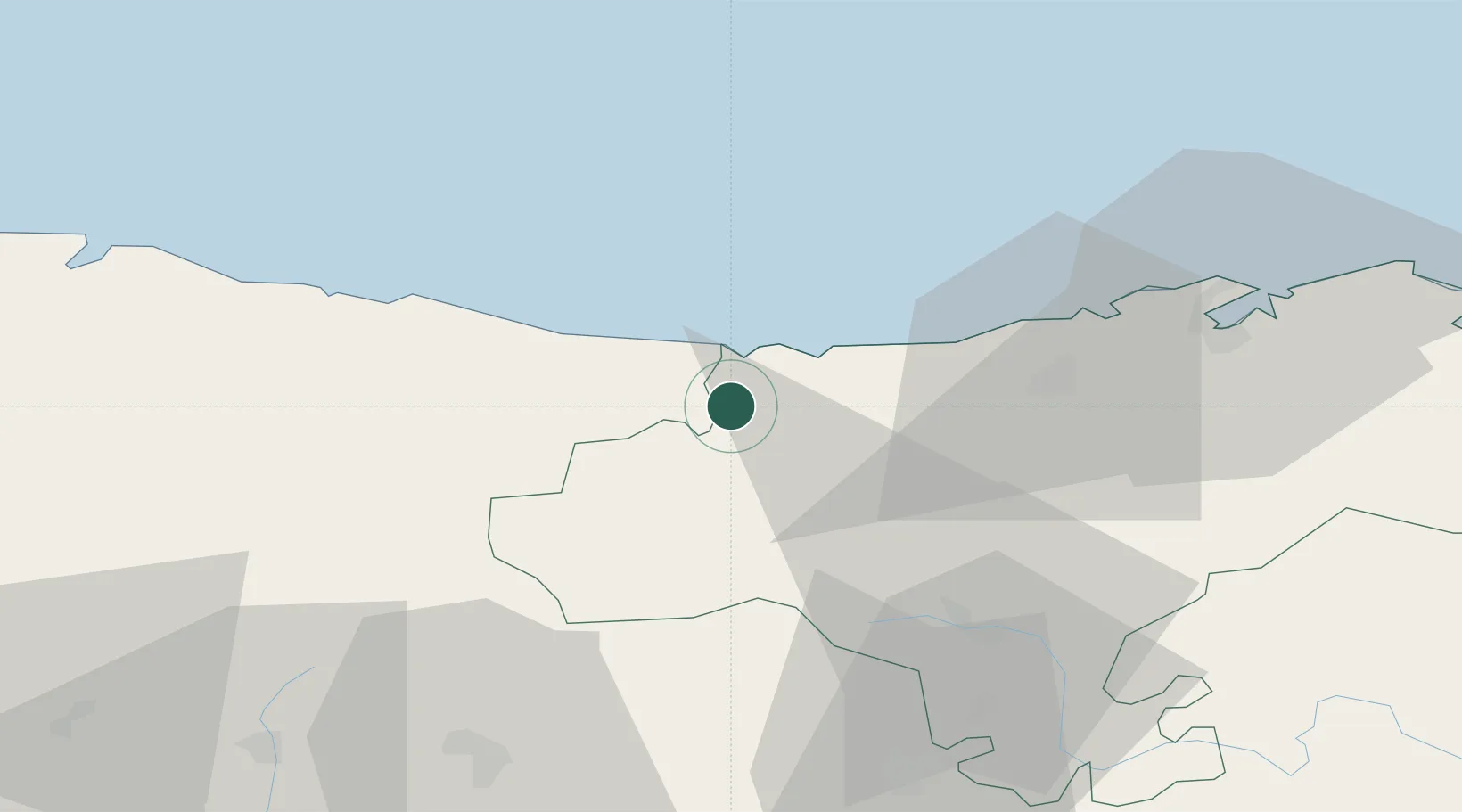
Location
Nearby Logistics Neighbours
Cities
- 1Portillo7 km
- 2San Vicente de la Barquera12 km
- 3Ucieda23 km
- 4Villanueva de la Peña26 km
- 5Puente San Miguel34 km
Ports
- 1Santander60 km
- 2Gijon98 km
- 3Puerto De Bilbao117 km
- 4Aviles120 km
- 5Bermeo145 km
Airports
- 1Seve Ballesteros-Santander Airport56 km
- 2León Int'l Airport124 km
- 3Asturias Airport127 km
- 4Burgos Airport129 km
- 5Bilbao Airport129 km
Trade Zones
DatabookThe Record of Consolidated Knowledge
Spain beyond logistics?