Transport Functions
Port
Road
Hub Profile
Place type
Populated place
Region
Murcia
Time zone
Europe/Madrid
Elevation
51 m
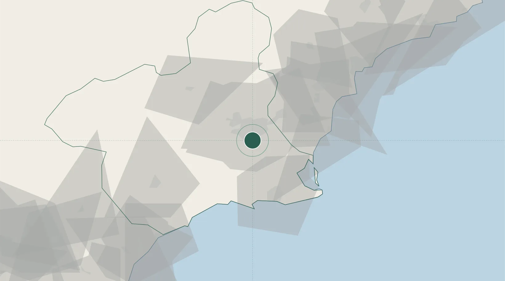
Location
Nearby Logistics Neighbours
Cities
- 1Aljucer4 km
- 2Nonduermas5 km
- 3Sangonera la Seca10 km
- 4Corvera12 km
- 5Las Torres de Cotillas15 km
Ports
- 1Torrevieja38 km
- 2Cartagena41 km
- 3Alicante71 km
- 4Aguilas71 km
- 5Puerto De Garrucha104 km
Airports
Trade Zones
- 1Depósito Franco de Alicante71 km
- 2Depósito Franco de Valencia182 km
- 3Depósito Franco de Málaga317 km
- 4Melilla Autonomous Community336 km
- 5Berkane Agro-Pole349 km
DatabookThe Record of Consolidated Knowledge
Spain beyond logistics?