Transport Functions
Multimodal
Hub Profile
Place type
Populated place
Region
Murcia
Time zone
Europe/Madrid
Elevation
274 m
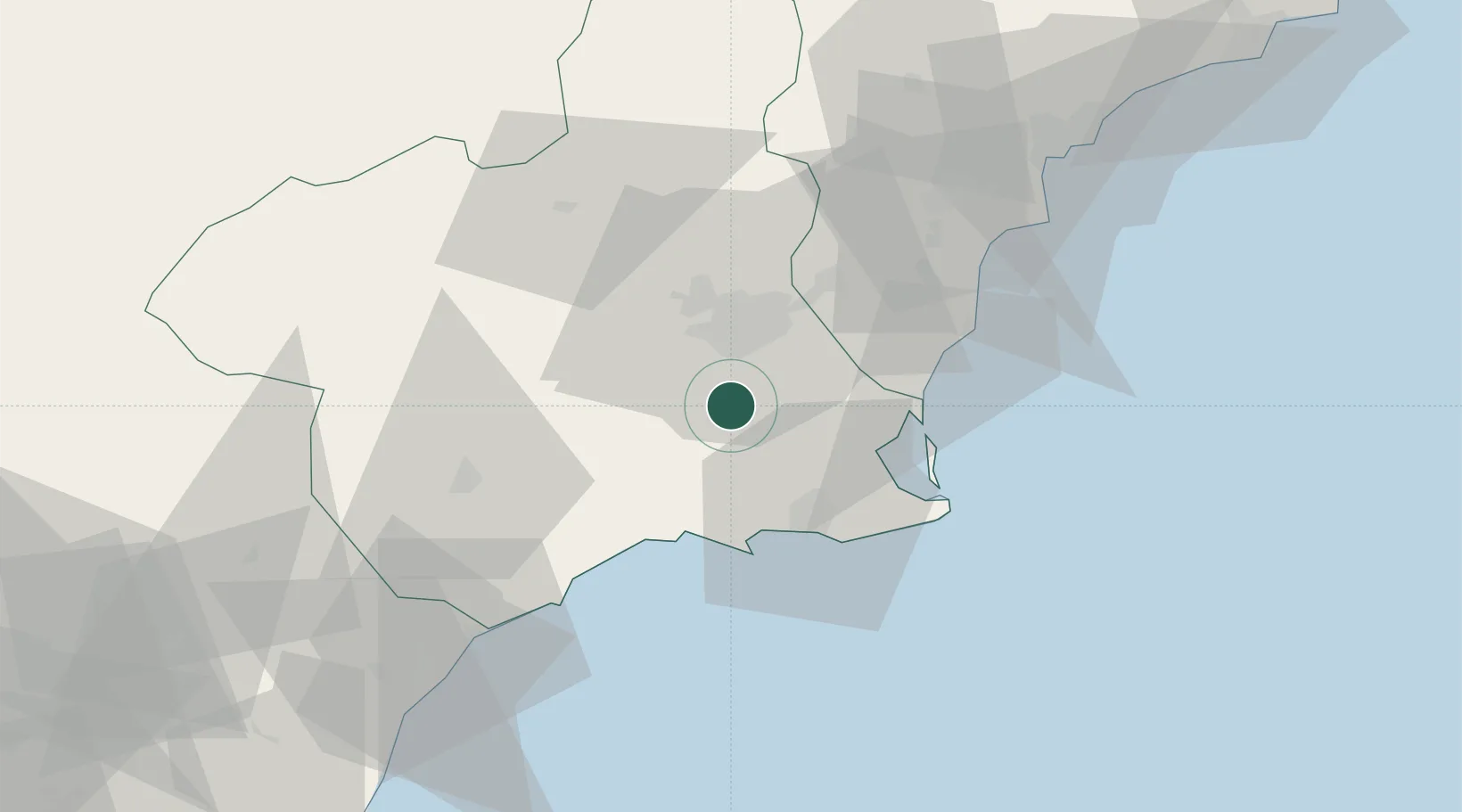
Location
Nearby Logistics Neighbours
Cities
- 1Santo Angel12 km
- 2Lobosillo13 km
- 3Aljucer13 km
- 4Roldan14 km
- 5Jimenado14 km
Ports
- 1Cartagena31 km
- 2Torrevieja44 km
- 3Aguilas61 km
- 4Alicante81 km
- 5Puerto De Garrucha93 km
Airports
Trade Zones
- 1Depósito Franco de Alicante80 km
- 2Depósito Franco de Valencia194 km
- 3Depósito Franco de Málaga311 km
- 4Melilla Autonomous Community325 km
- 5Berkane Agro-Pole337 km
DatabookThe Record of Consolidated Knowledge
Spain beyond logistics?