UN/LOCODE hub · Spain
ESLTD

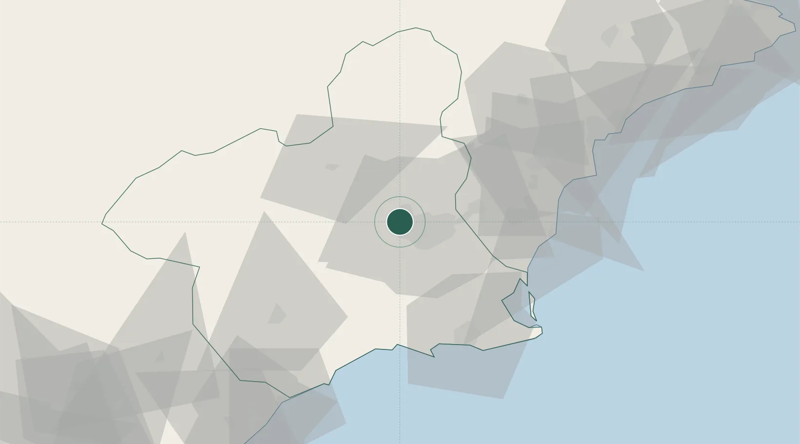
Las Torres de Cotillas

38.0333°, -1.2333°
21,062
Population
2
Transport functions

Transport Functions

Rail
Road
UN/LOCODE

Hub Profile

Place type
District seat
GeoNames
Region
Murcia
GeoNames
Population
21,062
GeoNames
Time zone
Europe/Madrid
GeoNames
Elevation
87 m
GeoNames

Location

Location of ESLTD
Natural Earth 10m (public domain) · Murcia · ESLTD · 38.03, -1.23GoogleOSMYandex

Nearby Logistics Neighbours

Cities
  1. 1Murcia6 km
  2. 2Sangonera la Seca8 km
  3. 3Nonduermas10 km
  4. 4Aljucer12 km
  5. 5Santo Angel15 km
Nearest neighbours — logibook spatial index (haversine) over the source coordinates
Ports
  1. 1Torrevieja49 km
  2. 2Cartagena55 km
  3. 3Alicante74 km
  4. 4Aguilas76 km
  5. 5Puerto De Garrucha108 km
Nearest neighbours — logibook spatial index (haversine) over the source coordinates
Airports
  1. 1Alcantarilla Air Base9 km
  2. 2Region of Murcia International Airport27 km
  3. 3San Javier Airport47 km
  4. 4Alicante-Elche Miguel Hernández Airport65 km
  5. 5Albacete Airport / Los Llanos Air Base116 km
Nearest neighbours — logibook spatial index (haversine) over the source coordinates
Trade Zones
  1. 1Depósito Franco de Alicante73 km
  2. 2Depósito Franco de Valencia176 km
  3. 3Depósito Franco de Málaga310 km
  4. 4Depósito Franco de Madrid-Aeropuerto337 km
  5. 5Melilla Autonomous Community341 km
Nearest neighbours — logibook spatial index (haversine) over the source coordinates
DatabookThe Record of Consolidated Knowledge
Spain beyond logistics?
Browse databook

All Sources

LocationsUN/LOCODE
UN/LOCODE — free
LocationsGeoNames
CC BY 4.0
Portsthe NGA World Port Index
Public domain (US gov)
AirportsOurAirports
Public domain
Trade Zonesthe World Bank SEZ database
CC BY 4.0
Trade ZonesOpen Zone Map
CC BY
← Spain locations