Transport Functions
Rail
Road
Hub Profile
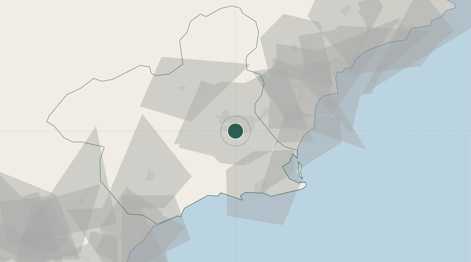
Region
MU
Location
Nearby Logistics Neighbours
Cities
- 1Aljucer2 km
- 2Santo Angel5 km
- 3Sangonera la Seca6 km
- 4Las Torres de Cotillas10 km
- 5Murcia15 km
Ports
- 1Torrevieja41 km
- 2Cartagena45 km
- 3Alicante71 km
- 4Aguilas73 km
- 5Puerto De Garrucha105 km
Airports
Trade Zones
DatabookThe Record of Consolidated Knowledge
Spain beyond logistics?