Transport Functions
Road
Multimodal
Hub Profile
Region
VI
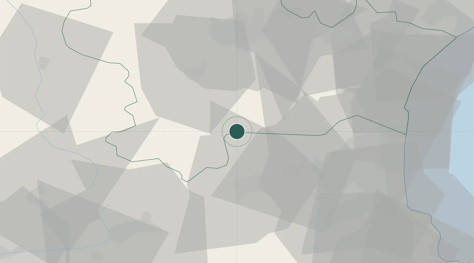
Location
Nearby Logistics Neighbours
Cities
- 1Prugnanes5 km
- 2Saint-Paul-de-Fenouillet10 km
- 3Lesquerde13 km
- 4Saint-Arnac14 km
- 5Espéraza16 km
Ports
- 1Port-La-Nouvelle59 km
- 2Port-Vendres71 km
- 3Rosas92 km
- 4Sete123 km
- 5Palamos128 km
Airports
Trade Zones
- 1ZFU Perpignan45 km
- 2ZFU Béziers87 km
- 3ZFU Toulouse113 km
- 4ZFU Montpellier145 km
- 5Zona Franca de Barcelona170 km
DatabookThe Record of Consolidated Knowledge
Spain beyond logistics?