Transport Functions
Multimodal
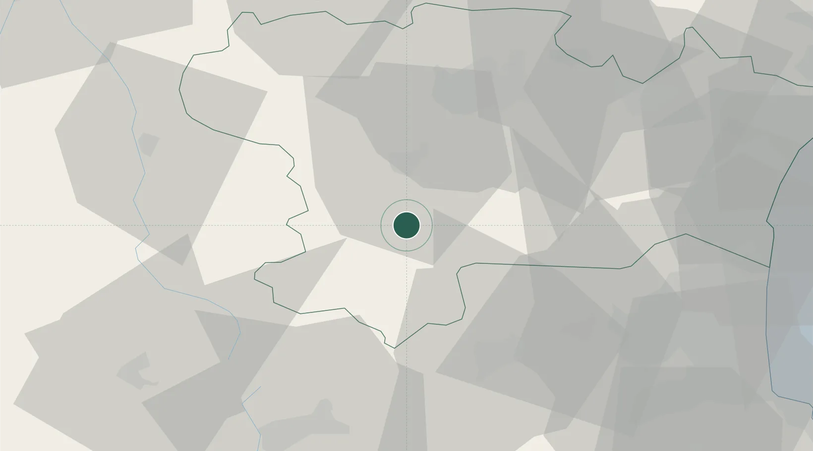
Hub Profile
Place type
Populated place
Region
Occitanie
Population
2,175
Time zone
Europe/Paris
Elevation
243 m
Location
Nearby Logistics Neighbours
Cities
- 1Antugnac2 km
- 2Campagne-sur-Aude2 km
- 3Roquetaillade8 km
- 4Tourreilles10 km
- 5Magrie11 km
Ports
- 1Port-La-Nouvelle70 km
- 2Port-Vendres87 km
- 3Rosas108 km
- 4Sete131 km
- 5Palamos143 km
Airports
Trade Zones
- 1ZFU Perpignan61 km
- 2ZFU Béziers93 km
- 3ZFU Toulouse98 km
- 4ZFU Montpellier152 km
- 5Zona Franca de Barcelona178 km
DatabookThe Record of Consolidated Knowledge
France beyond logistics?