UN/LOCODE hub · France
FRS66

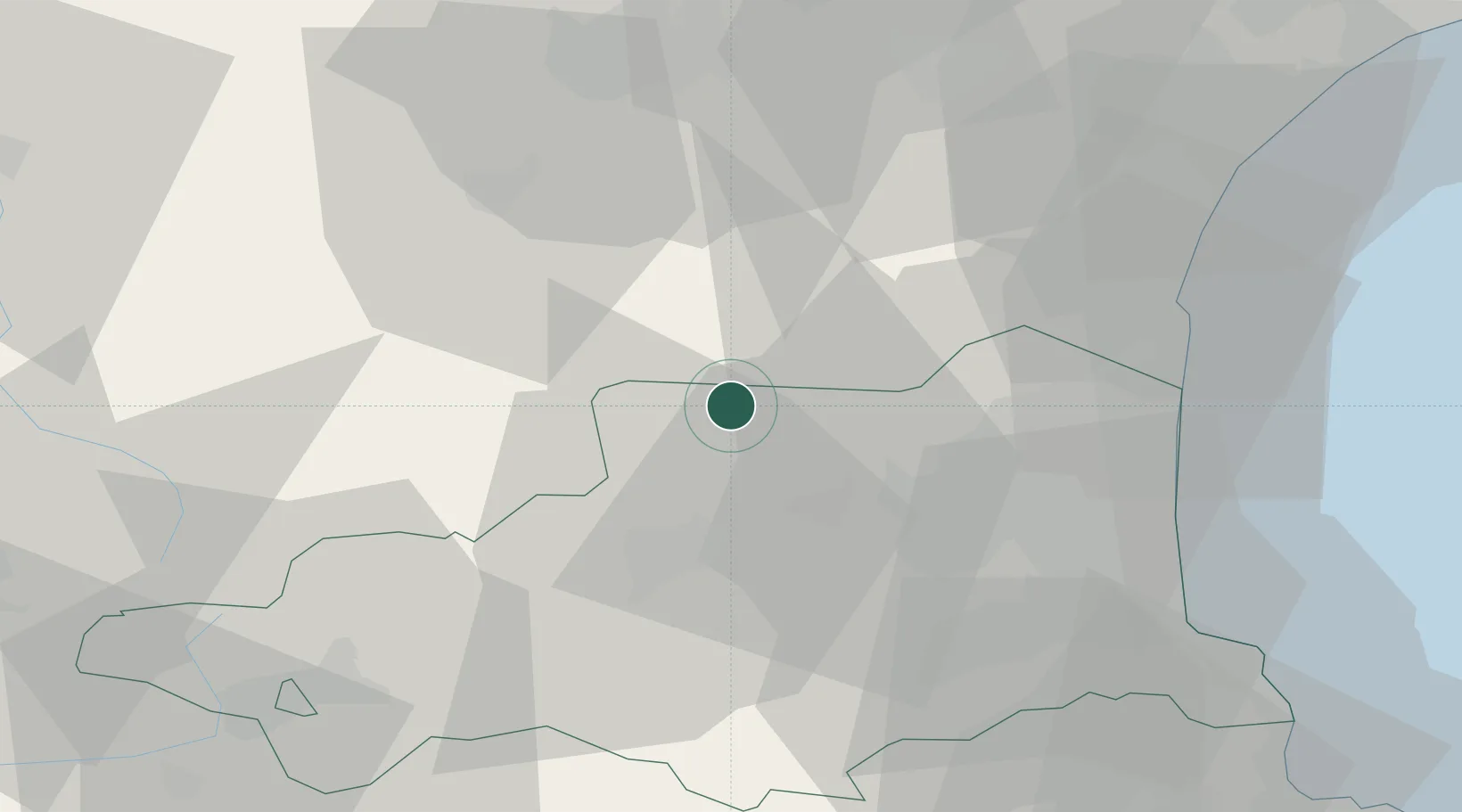
Saint-Paul-de-Fenouillet

42.8167°, 2.5000°
2,049
Population
1
Transport functions

Transport Functions

Multimodal
UN/LOCODE

Hub Profile

Place type
Populated place
GeoNames
Region
Occitanie
GeoNames
Population
2,049
GeoNames
Time zone
Europe/Paris
GeoNames
Elevation
264 m
GeoNames

Location

Location of FRS66
Natural Earth 10m (public domain) · Occitanie · FRS66 · 42.82, 2.50GoogleOSMYandex

Nearby Logistics Neighbours

Cities
  1. 1Lesquerde3 km
  2. 2Saint-Arnac5 km
  3. 3Prugnanes6 km
  4. 4Lansac8 km
  5. 5Maury8 km
Nearest neighbours — logibook spatial index (haversine) over the source coordinates
Ports
  1. 1Port-La-Nouvelle51 km
  2. 2Port-Vendres61 km
  3. 3Rosas83 km
  4. 4Sete117 km
  5. 5Palamos121 km
Nearest neighbours — logibook spatial index (haversine) over the source coordinates
Airports
  1. 1Perpignan-Rivesaltes (Llabanère) Airport31 km
  2. 2Carcassonne Salvaza Airport47 km
  3. 3Castres Mazamet Airport84 km
  4. 4Béziers Vias airport89 km
  5. 5Folgueroles Airfield97 km
Nearest neighbours — logibook spatial index (haversine) over the source coordinates
Trade Zones
  1. 1ZFU Perpignan35 km
  2. 2ZFU Béziers82 km
  3. 3ZFU Toulouse123 km
  4. 4ZFU Montpellier140 km
  5. 5Zona Franca de Barcelona168 km
Nearest neighbours — logibook spatial index (haversine) over the source coordinates
DatabookThe Record of Consolidated Knowledge
France beyond logistics?
Browse databook

All Sources

LocationsUN/LOCODE
UN/LOCODE — free
LocationsGeoNames
CC BY 4.0
Portsthe NGA World Port Index
Public domain (US gov)
AirportsOurAirports
Public domain
Trade Zonesthe World Bank SEZ database
CC BY 4.0
Trade ZonesOpen Zone Map
CC BY
← France locations